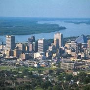
Pittsburgh, Metropolitan center in Pennsylvania, United States
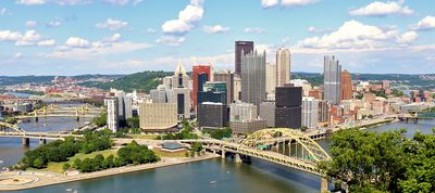
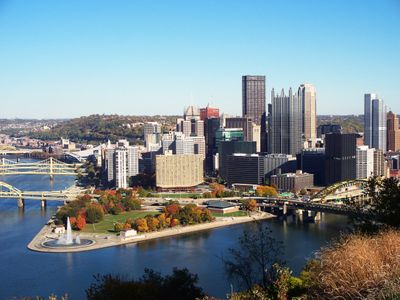
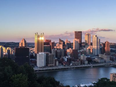
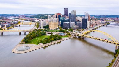
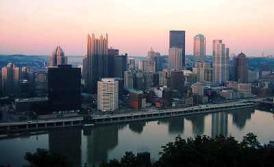
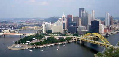
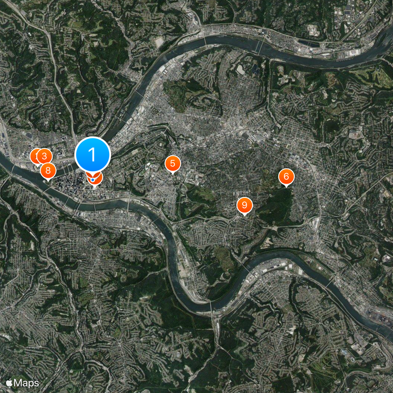
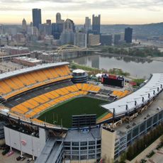
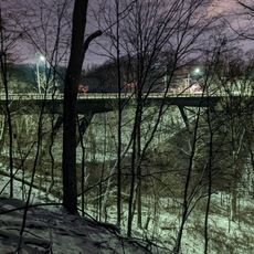
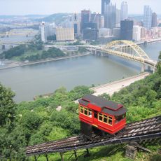
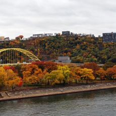
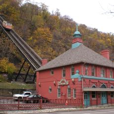
Pittsburgh sits where three rivers meet – the Ohio, Monongahela, and Allegheny – spreading across hilly terrain crossed by more than four hundred bridges. Neighborhoods occupy different levels and ridges, so narrow lanes run alongside wide boulevards and residential streets often climb or descend steep slopes.
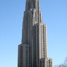
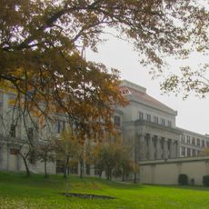
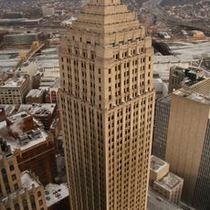
A settlement grew here in the 18th century at a strategic river junction and became a major center of steel production during the 19th and early 20th centuries. After heavy industry declined in the 1980s, the area shifted toward higher education, medicine, and technology research.
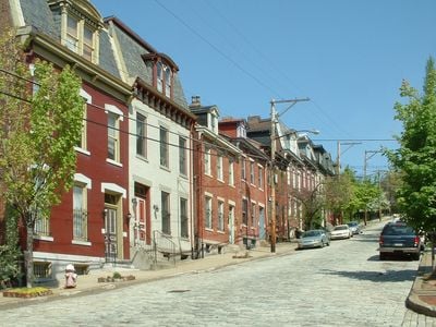
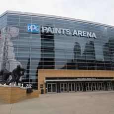
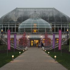
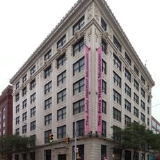
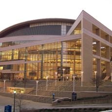
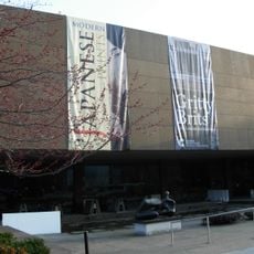
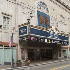
Residents gather in neighborhoods where small galleries, coffee shops, and independent bookstores line the streets, especially in areas like Lawrenceville and Bloomfield. The Andy Warhol Museum offers several floors of exhibits dedicated to the artist born here, while theaters and concert halls host performances nearly every evening, reflecting the active involvement of locals in arts and music.
Public transport with more than seven hundred buses and a light rail system connects downtown to southern neighborhoods and helps navigate the hilly topography. Most main streets and parks are accessible, though steep sections in older residential areas require planning, especially during rain or snow.
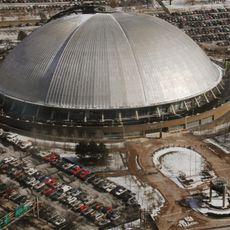
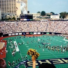
Three professional sports teams – the Steelers, Pirates, and Penguins – share the same black and gold colors that appear on the official city banner. A large number of staircases cut through the steep hillsides, connecting higher residential streets to the valleys below and offering hidden shortcuts for pedestrians.
The community of curious travelers
AroundUs brings together thousands of curated places, local tips, and hidden gems, enriched daily by 60,000 contributors worldwide.