Enable Location

We need your location to show you interesting places around you

Discover nearby places

Find interesting locations and hidden gems around you

Precise directions

Get accurate directions and distances to places

Your location is never shared with other users. It's only used when you tap the location button.

Peeble's Corner Historic District

Log in to your account

Start exploring — it's free

Trusted by 61,534 travelers worldwide

Continue with Google
Continue with Apple
or

We will send you a code to connect

By continuing, you accept our Terms and Conditions and our Privacy Policy

Check your inbox

We've sent a pincode in your inbox. Please enter the code below.

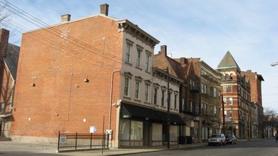
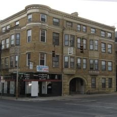
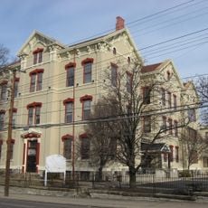
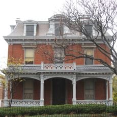
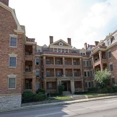
Peeble's Corner Historic District, Historic district at East McMillan Street and Gilbert Avenue in Walnut Hills, Cincinnati, United States.

Description

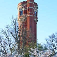
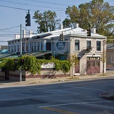
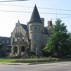
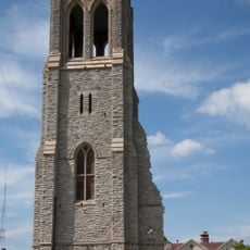
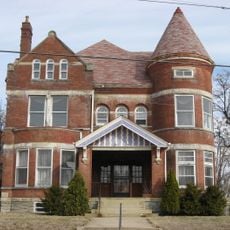
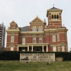
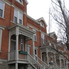
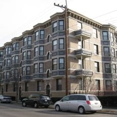
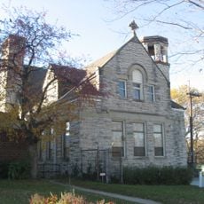
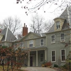
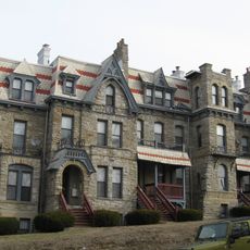
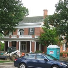
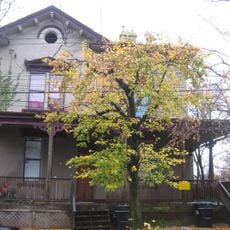
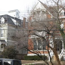
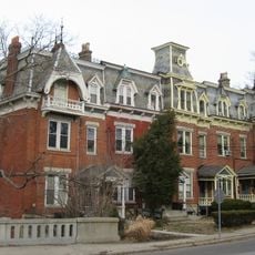
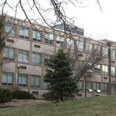
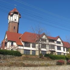
Peeble's Corner Historic District is a neighborhood covering over 100 acres that showcases Late Victorian, Classical Revival, and Art Deco buildings spread across several blocks. The district is located at the intersection of East McMillan Street and Gilbert Avenue in Walnut Hills.

History

The district took its name from the Joseph R. Peebles' Sons Co. grocery store founded in 1883, when streetcar conductors began calling the location by this name. This simple naming practice helped establish the corner as a recognized point in the growing city.

Culture

The Orpheum Theatre served as a gathering place for entertainment from 1909 to 1952, showing vaudeville acts and silent films to audiences throughout the area. This venue shaped how people spent their leisure time and made the corner a destination beyond just a transit hub.

Practical

The area remains a busy transit hub where multiple bus routes meet, making it easy to access by public transportation. Walking through the streets at a steady pace allows visitors to observe the different architectural styles and building details at close range.

Did you know?

Many buildings still display original Art Deco details and ornaments from the early 20th century that are easy to overlook on a casual visit. These decorative elements provide insight into the construction standards and craftsmanship valued during that era.

Location
GPS coordinates
39.12530,-84.49530
Latest update
December 14, 2025 13:03

AroundUs brings together thousands of curated places, local tips, and hidden gems, enriched daily by 60,000 contributors worldwide. Discover all places nearby (Ohio).

Around this place
Eden Park
United States of America

Eden Park

1 km
American Sign Museum
United States of America

American Sign Museum

371 m
Harriet Beecher Stowe House
United States of America

Harriet Beecher Stowe House

1.1 km
Capitoline Wolf Statue, Cincinnati
United States of America

Capitoline Wolf Statue, Cincinnati

1.1 km
Eden Park Stand Pipe
United States of America

Eden Park Stand Pipe

998 m
Mecklenburg's Garden
United States of America

Mecklenburg's Garden

1 km
Captain Stone House
United States of America

Captain Stone House

810 m
Walnut Hills United Presbyterian Church
United States of America

Walnut Hills United Presbyterian Church

569 m
C. H. Burroughs House
United States of America

C. H. Burroughs House

934 m
Gruen Watch Company-Time Hill
United States of America

Gruen Watch Company-Time Hill

565 m
Frederick Lunkenheimer House
United States of America

Frederick Lunkenheimer House

957 m
Gilbert Row
United States of America

Gilbert Row

598 m
Ransley Apartment Building
United States of America

Ransley Apartment Building

638 m
Cummins School
United States of America

Cummins School

474 m
Henry Powell House
United States of America

Henry Powell House

1.2 km
The Alexandra
United States of America

The Alexandra

556 m
Park Flats
United States of America

Park Flats

794 m
First Universalist Church
United States of America

First Universalist Church

377 m
Gorham A. Worth House
United States of America

Gorham A. Worth House

976 m
Madam Fredin's Eden Park School and Neighboring Row House
United States of America

Madam Fredin's Eden Park School and Neighboring Row House

748 m
Wilson-Gibson House
United States of America

Wilson-Gibson House

797 m
Jacob D. Cox House
United States of America

Jacob D. Cox House

939 m
Gilbert-Sinton Historic District
United States of America

Gilbert-Sinton Historic District

695 m
Mills' Row
United States of America

Mills' Row

929 m
Edgecliff
United States of America

Edgecliff

1.1 km
Procter and Collier-Beau Brummell Building
United States of America

Procter and Collier-Beau Brummell Building

445 m
Harriet Beecher Stowe House
United States of America

Harriet Beecher Stowe House

1.1 km
Galbraith Memorial
United States of America

Galbraith Memorial

1.1 km
Show the full map
« Peeble's Corner Historic District - Historic district at East McMillan Street and Gilbert Avenue in Walnut Hills, Cincinnati, United States » is provided by Around Us (aroundus.com). Images and texts are derived from Wikimedia project under a Creative Commons license. You are allowed to copy, distribute, and modify copies of this page, under the conditions set by the license, as long as this note is clearly visible.

Discover hidden gems everywhere you go!

From secret cafés to breathtaking viewpoints, skip the crowded tourist spots and find places that match your style. Our app makes it easy with voice search, smart filtering, route optimization, and insider tips from travelers worldwide. Download now for the complete mobile experience.

Around Us App Screenshot

A unique approach to discovering new places

Le Figaro

All the places worth exploring

France Info

A tailor-made excursion in just a few clicks

20 Minutes

Around Us
Travel Guide & Maps
Download

Send to your phone

QR Code
1

Open the camera app on your mobile.

2

Point at the QR code with your camera. A notification will appear.

3

Tap the notification to open the link.