Enable Location

We need your location to show you interesting places around you

Discover nearby places

Find interesting locations and hidden gems around you

Precise directions

Get accurate directions and distances to places

Your location is never shared with other users. It's only used when you tap the location button.

Port Royal State Park

Log in to your account

Start exploring — it's free

Trusted by 61,978 travelers worldwide

Continue with Google
Continue with Apple
or

We will send you a code to connect

By continuing, you accept our Terms and Conditions and our Privacy Policy

Check your inbox

We've sent a pincode in your inbox. Please enter the code below.

Port Royal State Park

Port Royal State Park, Historic state park in Adams, Tennessee, US

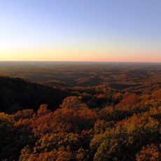
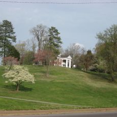
Port Royal State Park spreads across 26 acres (10.5 hectares) along the Red River, showing different natural landscapes, walking trails, and ruins from an old settlement. The ground is mostly level and easy to navigate, with clear paths running through wooded areas and alongside the river.

The settlement began in 1797 and served as a key supply point during the Cherokee removal in 1838. After that period, people moved away and most buildings gradually disappeared over time.

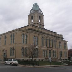
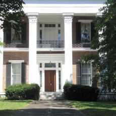
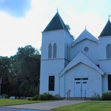
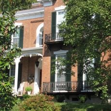
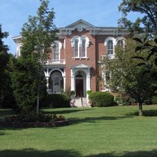
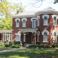
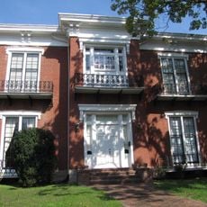
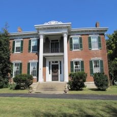
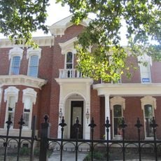
The 1859 Masonic Lodge and General Store still stands as the final building left from the original settlement, showing what community life looked like here. Walking around it, you can sense the daily routines of the people who once called this place home.

The marked paths are easy to walk and information signs explain the site's history at several spots. Wear comfortable shoes and check the website for current hours before you go, as seasonal changes can affect access.

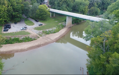
A steel truss bridge from 1890 crosses Sulphur Fork Creek and shows early American bridge building techniques of that era. This structure remains a rare example of 19th century engineering still standing in the park.

The community of curious travelers

AroundUs brings together thousands of curated places, local tips, and hidden gems, enriched daily by 60,000 contributors worldwide.

Start exploring
Location
GPS coordinates
36.55570,-87.14420
Latest update
December 11, 2025 18:04
Around this place
Bell Witch Cave
United States of America

Bell Witch Cave

8.9 km
Highland Rim
United States of America

Highland Rim

14.3 km
Dunbar Cave State Park
United States of America

Dunbar Cave State Park

14.5 km
Winfield Dunn Center
United States of America

Winfield Dunn Center

19.1 km
Wessyngton
United States of America

Wessyngton

13.9 km
The City Forum
United States of America

The City Forum

12.6 km
Customs House Museum and Cultural Center
United States of America

Customs House Museum and Cultural Center

19.5 km
Glen Raven
United States of America

Glen Raven

7.2 km
United States of America

Guthrie Historic District

10.5 km
Robertson County Courthouse
United States of America

Robertson County Courthouse

23.9 km
Emerald Hill
United States of America

Emerald Hill

19.6 km
Madison Street Methodist Church
United States of America

Madison Street Methodist Church

3.4 km
Tip Top
United States of America

Tip Top

17.6 km
Bethlehem Methodist Church and Cemetery
United States of America

Bethlehem Methodist Church and Cemetery

15.7 km
Clarksville Methodist Church
United States of America

Clarksville Methodist Church

19.2 km
Mansfield Cheatham House
United States of America

Mansfield Cheatham House

23.2 km
First Presbyterian Church Manse
United States of America

First Presbyterian Church Manse

19.3 km
Madison Street Historic District
United States of America

Madison Street Historic District

18 km
Russell House
United States of America

Russell House

26.1 km
Forbes-Mabry House
United States of America

Forbes-Mabry House

19.5 km
Samuel Rexinger House
United States of America

Samuel Rexinger House

18.8 km
Johnson-Hach House
United States of America

Johnson-Hach House

18.5 km
Sanford Wilson House
United States of America

Sanford Wilson House

14.6 km
Alfred A. Robb House
United States of America

Alfred A. Robb House

19.4 km
Oak Top
United States of America

Oak Top

17.7 km
Northington-Beach House
United States of America

Northington-Beach House

19.1 km
Allensville Historic District
United States of America

Allensville Historic District

19.1 km
Dunbar Cave
United States of America

Dunbar Cave

14.3 km
Show the full map
« Port Royal State Park - Historic state park in Adams, Tennessee, US » is provided by Around Us (aroundus.com). Images and texts are derived from Wikimedia project under a Creative Commons license. You are allowed to copy, distribute, and modify copies of this page, under the conditions set by the license, as long as this note is clearly visible.

Discover hidden gems everywhere you go!

From secret cafés to breathtaking viewpoints, skip the crowded tourist spots and find places that match your style. Our app makes it easy with voice search, smart filtering, route optimization, and insider tips from travelers worldwide. Download now for the complete mobile experience.

Around Us App Screenshot

A unique approach to discovering new places

Le Figaro

All the places worth exploring

France Info

A tailor-made excursion in just a few clicks

20 Minutes

Around Us
Travel Guide & Maps
Download

Send to your phone

QR Code
1

Open the camera app on your mobile.

2

Point at the QR code with your camera. A notification will appear.

3

Tap the notification to open the link.