Schuylkill River National and State Heritage Area

Log in to your account

AroundUs is a community-driven map of interesting places, built by curious explorers like you. It grows with every review, story, and photo you share.
Connect to save your favorite spots, contribute locations, and create personalized routes.
By continuing, you accept our Terms and Conditions and our Privacy Policy

Schuylkill River National and State Heritage Area

Add to collection
Map
Suggest a change
Share

Schuylkill River National and State Heritage Area, National Heritage Area in southeastern Pennsylvania, United States.

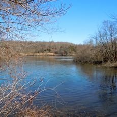
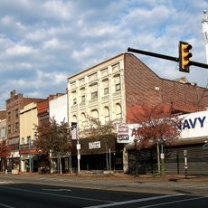
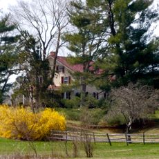
The Schuylkill River National and State Heritage Area extends across southeastern Pennsylvania from Pottsville to Philadelphia, encompassing riverside communities, historic industrial sites, forests, and protected wildlife areas. The region features a continuous walking and cycling path alongside the water, connecting numerous towns and natural spaces.

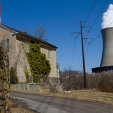
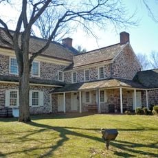
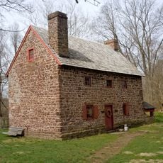
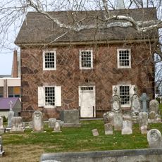
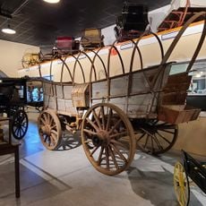
The river valley played a critical role during the American Revolution, notably serving as the location of George Washington's winter encampment at Valley Forge in 1777. Throughout the 1800s, coal mining and iron production transformed the region into one of the nation's most important industrial areas.

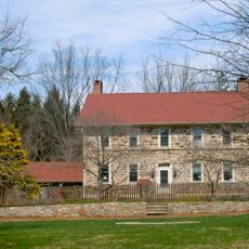
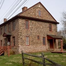
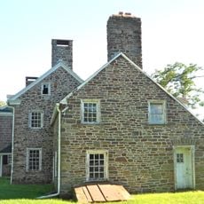
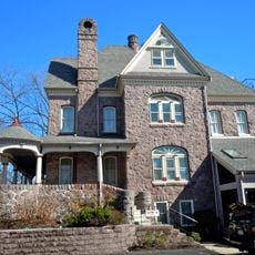
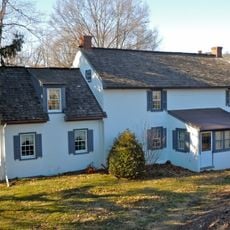
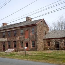
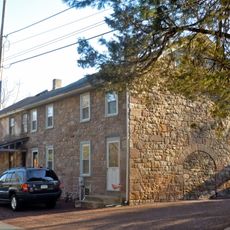
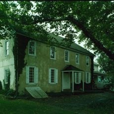
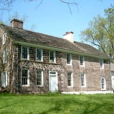
The riverside communities developed as industrial centers where workers and their families built their lives around mills and mines. Today, these places tell stories of labor, innovation, and the people who shaped the region's identity.

The heritage area can be accessed through many entry points scattered throughout its length, offering trails suitable for walking, cycling, and water activities. Weather and seasonal conditions vary significantly across the corridor, so plan visits based on your preferred activity and comfort level.

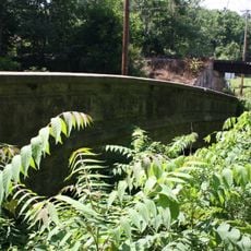
The river corridor served as a major transportation route for coal and iron ore, which were shipped via canal boats across the region during the industrial boom. Remnants of this canal system, including old locks and tunnel sections, remain visible today and tell the story of how goods moved through the industrial landscape.

GPS coordinates: 40.24358,-75.65368

Latest update: December 14, 2025 17:40

Photos
Around this place
Fricks Locks Historic District
United States of America

Fricks Locks Historic District

5.4 km
Welkinweir
United States of America

Welkinweir

10.3 km
Pottsgrove Mansion
United States of America

Pottsgrove Mansion

694 m
Old Swede's House
United States of America

Old Swede's House

6.4 km
Vincent Forge Mansion
United States of America

Vincent Forge Mansion

9.7 km
White Horse Tavern
United States of America

White Horse Tavern

6.3 km
River Bend Farm
United States of America

River Bend Farm

5 km
Old St. Gabriel's Episcopal Church
United States of America

Old St. Gabriel's Episcopal Church

6.6 km
Old Pottstown Historic District
United States of America

Old Pottstown Historic District

635 m
Pine Forge Mansion and Industrial Site
United States of America

Pine Forge Mansion and Industrial Site

6.3 km
Grubb Mansion
United States of America

Grubb Mansion

2.8 km
William and Mordecai Evans House
United States of America

William and Mordecai Evans House

7.9 km
High Street Historic District
United States of America

High Street Historic District

2.1 km
George Douglass House
United States of America

George Douglass House

6.3 km
Sunnybrook
United States of America

Sunnybrook

3.7 km
Parker's Ford
United States of America

Parker's Ford

7.9 km
Townsend House
United States of America

Townsend House

9 km
Pottstown Landing Historic District
United States of America

Pottstown Landing Historic District

1.1 km
Coventry Hall
United States of America

Coventry Hall

8.1 km
Simon Meredith House
United States of America

Simon Meredith House

8.4 km
Nathan Michener House
United States of America

Nathan Michener House

8 km
Philip Rogers House
United States of America

Philip Rogers House

9.5 km
Ironstone Bridge
United States of America

Ironstone Bridge

8.5 km
Christ Episcopal Church, Pottstown
United States of America

Christ Episcopal Church, Pottstown

597 m
Sanatoga Union Sunday School
United States of America

Sanatoga Union Sunday School

5 km
Stephen Meredith House
United States of America

Stephen Meredith House

8.1 km
Boyertown Museum of Historic Vehicles
United States of America

Boyertown Museum of Historic Vehicles

10.1 km
Splash Park
United States of America

Splash Park

953 m
Show the full map
Reviews

Visited this place? Tap the stars to rate it and share your experience / photos with the community! Try now! You can cancel it anytime.

« Schuylkill River National and State Heritage Area - National Heritage Area in southeastern Pennsylvania, United States » is provided by Around Us (aroundus.com). Images and texts are derived from Wikimedia project under a Creative Commons license. You are allowed to copy, distribute, and modify copies of this page, under the conditions set by the license, as long as this note is clearly visible.

Discover hidden gems everywhere you go!

From secret cafés to breathtaking viewpoints, skip the crowded tourist spots and find places that match your style. Our app makes it easy with voice search, smart filtering, route optimization, and insider tips from travelers worldwide. Download now for the complete mobile experience.

Around Us App Screenshot

A unique approach to discovering new places

Le Figaro

All the places worth exploring

France Info

A tailor-made excursion in just a few clicks

20 Minutes