Chest opened
+${chestReward.xp} XP
Explorer
NOUVEAU ×${chestReward.collectible.quantity}
tapez pour fermer

See the monuments around you in AR Open chests in the app

Around Us is built for your phone — point your camera at the streets and discover the monuments and places around you in augmented reality. Around Us is built for your phone — chests unlock when you walk, explore and capture nearby places.

Enable Location

We need your location to show you interesting places around you

Discover nearby places

Find interesting locations and hidden gems around you

Precise directions

Get accurate directions and distances to places

Your location is never shared with other users. It's only used when you tap the location button.

Fricks Locks Historic District

Log in to your account

Start exploring — it's free

Trusted by 87,116 travelers worldwide

Continue with Google
Continue with Apple
or

We will send you a code to connect

By continuing, you accept our Terms and Conditions and our Privacy Policy

Check your inbox

We've sent a pincode in your inbox. Please enter the code below.

Discussion Reviews 1 Photos
7.2k Popularity

Fricks Locks Historic District, historic district in Pennsylvania, United States of America

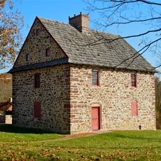
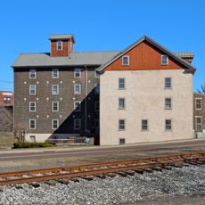
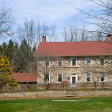
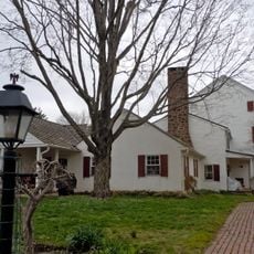
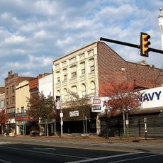
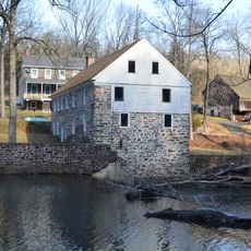
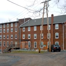
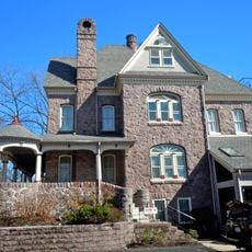
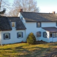
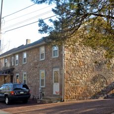
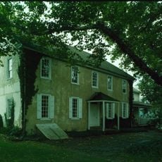
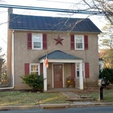
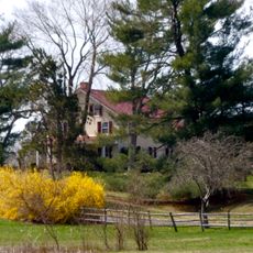
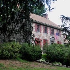
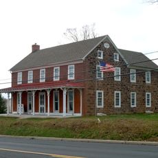
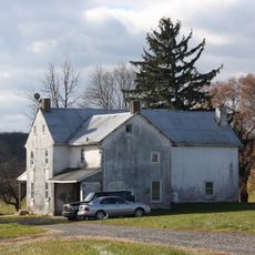
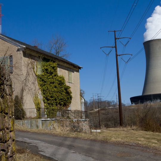
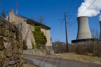
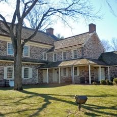
Fricks Locks Historic District is an abandoned settlement in Pennsylvania, set on gently rolling land along a river. Farmhouses, barns, and trade buildings remain on the site, spread along what was once a working canal route connecting inland communities to the city.

The area was first farmed in the 1700s and grew into a small community when a canal was built in the early 1800s to move coal toward Philadelphia. By the 1900s, rail transport had made the canal unnecessary, and the community slowly emptied out.

The name of this place refers to the locks of the canal that once ran through the settlement. Walking among the remaining buildings, you can see how daily life was organized around the waterway, with homes and trade structures placed close to the water's edge.

The site is open to walk through, but most buildings cannot be entered since they are structurally fragile. The paths are informal and the ground is uneven, so sturdy footwear makes the visit more comfortable.

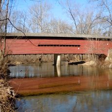
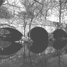
A structure built in 1849 still stands on the site, originally designed to allow trade to cross the river between the two banks. It is one of the few remaining elements that directly connects the place to its role as a working river crossing.

The community of curious travelers

AroundUs brings together thousands of curated places, local tips, and hidden gems, enriched daily by 60,000 contributors worldwide.
Start exploring
Location
GPS coordinates
40.22250,-75.59639
Latest update
September 17, 2026 11:00
Around this place
Pottsgrove Mansion
United States of America

Pottsgrove Mansion

3.8 mi
Henry Antes House
United States of America

Henry Antes House

5.7 mi
Pottstown Roller Mill
United States of America

Pottstown Roller Mill

3.3 mi
Vincent Forge Mansion
United States of America

Vincent Forge Mansion

5.1 mi
River Bend Farm
United States of America

River Bend Farm

0.5 mi
Old Pottstown Historic District
United States of America

Old Pottstown Historic District

3.1 mi
Sunrise Mill
United States of America

Sunrise Mill

5.2 mi
Continental Stove Works
United States of America

Continental Stove Works

3.8 mi
Grubb Mansion
United States of America

Grubb Mansion

1.9 mi
William and Mordecai Evans House
United States of America

William and Mordecai Evans House

1.6 mi
High Street Historic District
United States of America

High Street Historic District

2.2 mi
Hall's Bridge
United States of America

Hall's Bridge

5.3 mi
Bridge in Upper Frederick Township
United States of America

Bridge in Upper Frederick Township

5.2 mi
Sunnybrook
United States of America

Sunnybrook

2 mi
Parker's Ford
United States of America

Parker's Ford

1.8 mi
Townsend House
United States of America

Townsend House

5.7 mi
Pottstown Landing Historic District
United States of America

Pottstown Landing Historic District

3.7 mi
Simon Meredith House
United States of America

Simon Meredith House

5.6 mi
Nathan Michener House
United States of America

Nathan Michener House

5.4 mi
Isaac Hunsberger House
United States of America

Isaac Hunsberger House

3.7 mi
John Englehardt Homestead
United States of America

John Englehardt Homestead

5.4 mi
Christ Episcopal Church, Pottstown
United States of America

Christ Episcopal Church, Pottstown

3.1 mi
Stephen Meredith House
United States of America

Stephen Meredith House

4.9 mi
Splash Park
United States of America

Splash Park

3.7 mi
United States of America

Norco Fairgrounds

3.3 mi
United States of America

Hank St Peters (a photogenic wild turkey)

5.2 mi
United States of America

The Carousel at Pottstown

3.6 mi
United States of America

Mascot

2.5 mi
Show the full map
Reviews
Share your experience

No review yet

Discussions
Start a discussion...

No discussion yet

« Fricks Locks Historic District - historic district in Pennsylvania, United States of America » is provided by Around Us (aroundus.com). Images and texts are derived from Wikimedia project under a Creative Commons license. You are allowed to copy, distribute, and modify copies of this page, under the conditions set by the license, as long as this note is clearly visible.

Discover hidden gems everywhere you go!

From secret cafés to breathtaking viewpoints, skip the crowded tourist spots and find places that match your style. Our app makes it easy with voice search, smart filtering, route optimization, and insider tips from travelers worldwide. Download now for the complete mobile experience.

Around Us App Screenshot

A unique approach to discovering new places

Le Figaro

All the places worth exploring

France Info

A tailor-made excursion in just a few clicks

20 Minutes

Around Us
Travel Guide & Maps
Download

Send to your phone

QR Code
1

Open the camera app on your mobile.

2

Point at the QR code with your camera. A notification will appear.

3

Tap the notification to open the link.