Chest opened
+${chestReward.xp} XP
Explorer
NOUVEAU ×${chestReward.collectible.quantity}
tapez pour fermer
Chest locked

Open chests in the app

Around Us is built for your phone — chests unlock when you walk, explore and capture nearby places.

Enable Location

We need your location to show you interesting places around you

Discover nearby places

Find interesting locations and hidden gems around you

Precise directions

Get accurate directions and distances to places

Your location is never shared with other users. It's only used when you tap the location button.

Log in to your account

Start exploring — it's free

Trusted by 72,874 travelers worldwide

Continue with Google
Continue with Apple
or

We will send you a code to connect

By continuing, you accept our Terms and Conditions and our Privacy Policy

Check your inbox

We've sent a pincode in your inbox. Please enter the code below.

Saquish Head
Discussion Reviews Photo
3.5k Popularity

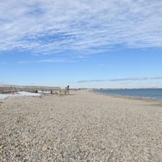
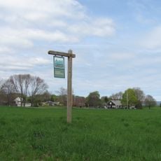
Saquish Head, Private coastal headland in Plymouth, United States.

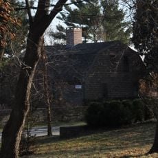
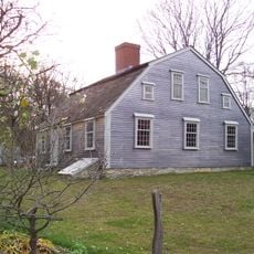
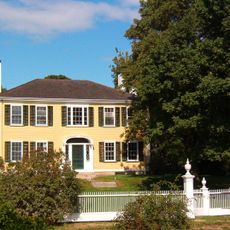
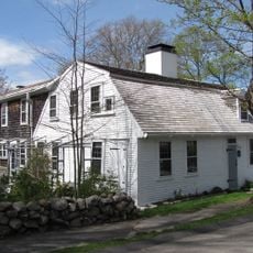
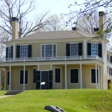
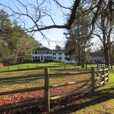
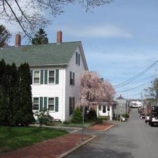
Saquish Head is a narrow private peninsula at the mouth of Plymouth Bay in Massachusetts. The land strip is lined almost entirely with summer cottages that sit directly on the waterfront.

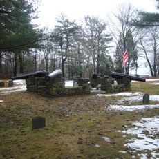
The name Saquish comes from the Wampanoag language and likely refers to the shellfish once found in abundance here. Over time, military fortifications were built on the peninsula, including Fort Andrew and Fort Standish, which served as coastal defense structures during the Civil War era.

The name Saquish comes from the Wampanoag language and refers either to an abundance of shellfish or to a small stream once present here.

Access is through the Powder Point Bridge in Duxbury and is limited to property owners and their guests. Visitors without a private invitation can still view the peninsula from the bridge or the beach nearby.

The homes on Saquish Head are not connected to the public power grid and rely instead on solar panels, wind turbines, or propane systems. This makes the settlement one of the few residential communities in New England to function entirely off the public grid.

The community of curious travelers

AroundUs brings together thousands of curated places, local tips, and hidden gems, enriched daily by 60,000 contributors worldwide.

Start exploring
GPS coordinates
42.00358,-70.62434
Latest update
March 3, 2026 14:01
Around this place
Plymouth Rock
United States of America

Plymouth Rock

6 km
Mayflower II
United States of America

Mayflower II

5.8 km
Burial Hill
United States of America

Burial Hill

6.3 km
Cole's Hill
United States of America

Cole's Hill

6 km
Pilgrim Hall Museum
United States of America

Pilgrim Hall Museum

6.2 km
Clark's Island
United States of America

Clark's Island

1.2 km
Duxbury Beach
United States of America

Duxbury Beach

4.4 km
Pilgrim Memorial State Park
United States of America

Pilgrim Memorial State Park

5.9 km
Jabez Howland House
United States of America

Jabez Howland House

6.3 km
Alexander Standish House
United States of America

Alexander Standish House

4.6 km
Harlow Old Fort House
United States of America

Harlow Old Fort House

6.4 km
Mayflower House Museum
United States of America

Mayflower House Museum

6 km
Plymouth Light
United States of America

Plymouth Light

2 km
Duxbury Pier Light
United States of America

Duxbury Pier Light

2.7 km
Holmes Reservation
United States of America

Holmes Reservation

5.9 km
King Caesar House
United States of America

King Caesar House

5.7 km
Plymouth Village Historic District
United States of America

Plymouth Village Historic District

6.1 km
Nathaniel Winsor, Jr. House
United States of America

Nathaniel Winsor, Jr. House

5.5 km
Sgt. William Harlow Family Homestead
United States of America

Sgt. William Harlow Family Homestead

6.3 km
Plymouth Antiquarian House
United States of America

Plymouth Antiquarian House

6 km
Memorial Hall
United States of America

Memorial Hall

6.1 km
Plymouth Post Office Building
United States of America

Plymouth Post Office Building

6.2 km
Bethel African Methodist Episcopal Church and Parsonage
United States of America

Bethel African Methodist Episcopal Church and Parsonage

6.4 km
Old Shipbuilder's Historic District
United States of America

Old Shipbuilder's Historic District

5.7 km
Captain Daniel Bradford House
United States of America

Captain Daniel Bradford House

6.4 km
Bartlett-Russell-Hedge House
United States of America

Bartlett-Russell-Hedge House

6.2 km
Bradford-Union Street Historic District
United States of America

Bradford-Union Street Historic District

6.2 km
Myles Standish Burial Ground
United States of America

Myles Standish Burial Ground

5.7 km
Show the full map
Reviews
Share your experience

No review yet

Discussions
Start a discussion...

No discussion yet

« Saquish Head - Private coastal headland in Plymouth, United States » is provided by Around Us (aroundus.com). Images and texts are derived from Wikimedia project under a Creative Commons license. You are allowed to copy, distribute, and modify copies of this page, under the conditions set by the license, as long as this note is clearly visible.

Discover hidden gems everywhere you go!

From secret cafés to breathtaking viewpoints, skip the crowded tourist spots and find places that match your style. Our app makes it easy with voice search, smart filtering, route optimization, and insider tips from travelers worldwide. Download now for the complete mobile experience.

Around Us App Screenshot

A unique approach to discovering new places

Le Figaro

All the places worth exploring

France Info

A tailor-made excursion in just a few clicks

20 Minutes

Around Us
Travel Guide & Maps
Download

Send to your phone

QR Code
1

Open the camera app on your mobile.

2

Point at the QR code with your camera. A notification will appear.

3

Tap the notification to open the link.