Enable Location

We need your location to show you interesting places around you

Discover nearby places

Find interesting locations and hidden gems around you

Precise directions

Get accurate directions and distances to places

Your location is never shared with other users. It's only used when you tap the location button.

Springfield, Massachusetts metropolitan area

Log in to your account

Start exploring — it's free

Trusted by 69,585 travelers worldwide

Continue with Google
Continue with Apple
or

We will send you a code to connect

By continuing, you accept our Terms and Conditions and our Privacy Policy

Check your inbox

We've sent a pincode in your inbox. Please enter the code below.

Springfield, Massachusetts metropolitan area
Discussion Reviews 1 Photos
16.3k Popularity

Springfield, Massachusetts metropolitan area, Metropolitan statistical area in Western Massachusetts, United States.

Springfield metropolitan area is a region in Western Massachusetts composed of several urban centers and surrounding communities. It includes cities and towns connected by commerce, transportation corridors, and shared services.

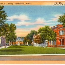
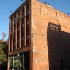
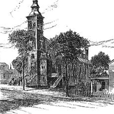
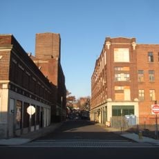
Springfield was established in the 1600s and developed into a major commercial hub for the region. The metropolitan area took shape as surrounding communities grew and became economically connected over time.

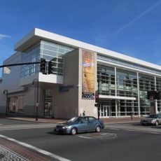
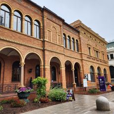
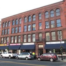
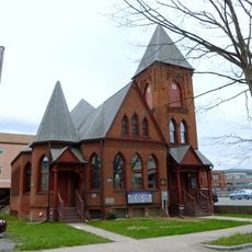
The region hosts several universities and colleges that shape the community's character and bring students from across the country. Museums, theaters, and galleries reflect the area's connection to art, education, and innovation.

The area is best explored by car since public transportation extends mainly through the larger city centers. Visitors should plan to move between towns to see the full range of what the region offers.

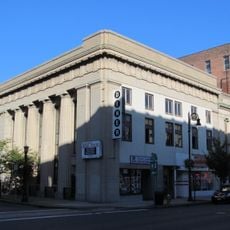
The region became famous for manufacturing Springfield rifles, produced at the armory that operated here for over two centuries. This industrial legacy was central to the area's growth as a national manufacturing center.

The community of curious travelers

AroundUs brings together thousands of curated places, local tips, and hidden gems, enriched daily by 60,000 contributors worldwide.

Start exploring
Location
GPS coordinates
42.10000,-72.60000
Latest update
March 5, 2026 16:38
Around this place
MassMutual Center
United States of America

MassMutual Center

1.1 km
Springfield Museums
United States of America

Springfield Museums

1.3 km
Memorial Bridge
United States of America

Memorial Bridge

431 m
Springfield Municipal Group
United States of America

Springfield Municipal Group

826 m
Springfield Museums
United States of America

Springfield Museums

1.3 km
First Church of Christ, Congregational
United States of America

First Church of Christ, Congregational

854 m
Hampden County Courthouse
United States of America

Hampden County Courthouse

918 m
Christ Church Cathedral
United States of America

Christ Church Cathedral

1.2 km
North Congregational Church
United States of America

North Congregational Church

1.3 km
Springfield District Court
United States of America

Springfield District Court

717 m
Stacy Building
United States of America

Stacy Building

778 m
St. Joseph's Church
United States of America

St. Joseph's Church

1 km
Walker Building
United States of America

Walker Building

991 m
Chapin National Bank Building
United States of America

Chapin National Bank Building

644 m
French Congregational Church
United States of America

French Congregational Church

1 km
Laurel Hall
United States of America

Laurel Hall

1.1 km
Springfield Fire & Marine Insurance Co.
United States of America

Springfield Fire & Marine Insurance Co.

1.1 km
Smith Carriage Company District
United States of America

Smith Carriage Company District

1.3 km
Hampden Savings Bank
United States of America

Hampden Savings Bank

675 m
W C A Boarding House
United States of America

W C A Boarding House

1.1 km
Hiberian Block
United States of America

Hiberian Block

1 km
Union Trust Company Building
United States of America

Union Trust Company Building

906 m
Downtown Springfield Railroad District
United States of America

Downtown Springfield Railroad District

1.3 km
Ethel Apartment House
United States of America

Ethel Apartment House

1.1 km
Bicycle Club Building
United States of America

Bicycle Club Building

850 m
Springfield Safe Deposit and Trust Company
United States of America

Springfield Safe Deposit and Trust Company

1.1 km
Fitzgerald's Stearns Square Block
United States of America

Fitzgerald's Stearns Square Block

830 m
Memorial Square District
United States of America

Memorial Square District

1.2 km
Show the full map
Reviews
Share your experience

No review yet

Discussions
Start a discussion...

No discussion yet

Administrative divisions
« Springfield, Massachusetts metropolitan area - Metropolitan statistical area in Western Massachusetts, United States » is provided by Around Us (aroundus.com). Images and texts are derived from Wikimedia project under a Creative Commons license. You are allowed to copy, distribute, and modify copies of this page, under the conditions set by the license, as long as this note is clearly visible.

Discover hidden gems everywhere you go!

From secret cafés to breathtaking viewpoints, skip the crowded tourist spots and find places that match your style. Our app makes it easy with voice search, smart filtering, route optimization, and insider tips from travelers worldwide. Download now for the complete mobile experience.

Around Us App Screenshot

A unique approach to discovering new places

Le Figaro

All the places worth exploring

France Info

A tailor-made excursion in just a few clicks

20 Minutes

Around Us
Travel Guide & Maps
Download

Send to your phone

QR Code
1

Open the camera app on your mobile.

2

Point at the QR code with your camera. A notification will appear.

3

Tap the notification to open the link.