Enable Location

We need your location to show you interesting places around you

Discover nearby places

Find interesting locations and hidden gems around you

Precise directions

Get accurate directions and distances to places

Your location is never shared with other users. It's only used when you tap the location button.

The Chestnut Hill

Log in to your account

Start exploring — it's free

Trusted by 62,603 travelers worldwide

Continue with Google
Continue with Apple
or

We will send you a code to connect

By continuing, you accept our Terms and Conditions and our Privacy Policy

Check your inbox

We've sent a pincode in your inbox. Please enter the code below.

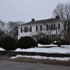
The Chestnut Hill, Residential district in Massachusetts, United States.

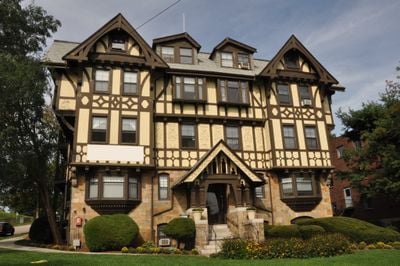
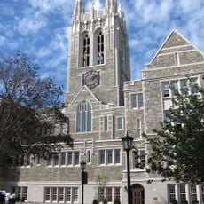
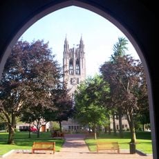
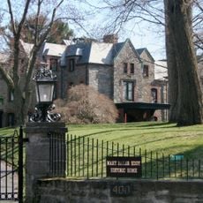
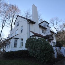
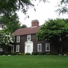
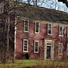
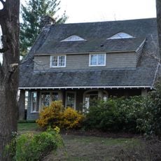
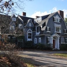
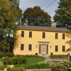
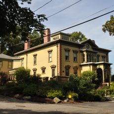
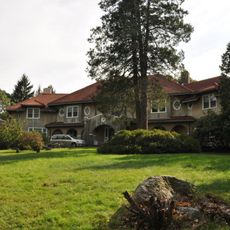
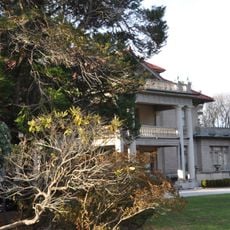
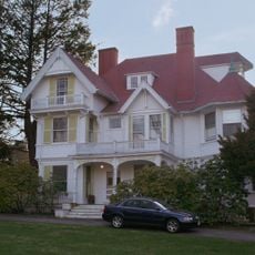
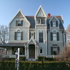
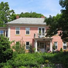
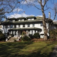
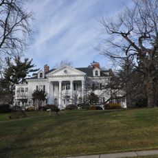
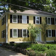
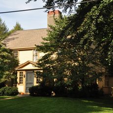
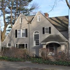
Chestnut Hill is a residential district in Massachusetts featuring large houses situated on spacious properties arranged in an organized layout. The neighborhood is bounded by defined streets on two sides and contains many structures built by recognized architects during a focused development period.

The area developed as a residential neighborhood for wealthy families starting in 1888 and continuing through 1920, eventually earning National Register status in 1985. This recognition acknowledged the architectural importance of the buildings constructed during that initial growth period.

The district reflects the work of several prominent architecture firms whose designs shaped how residents built their homes here. Walking through the streets, you can see how the buildings vary in style and detail, showing the choices made by owners who lived during the area's most active development period.

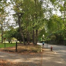
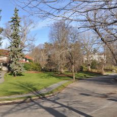
The neighborhood is walkable and easy to navigate on foot, making it straightforward to explore the different streets and homes. Since much of what makes this place interesting is visible from the outside, strolling through the area works well for most visitors.

Frederick Law Olmsted, a renowned landscape architect, participated in the initial planning in 1888 but his design concepts were not used in the final built version. His early involvement nevertheless influenced how later planners approached the actual layout of the neighborhood that was eventually constructed.

The community of curious travelers

AroundUs brings together thousands of curated places, local tips, and hidden gems, enriched daily by 60,000 contributors worldwide.

Start exploring
Location
GPS coordinates
42.33778,-71.17528
Latest update
December 14, 2025 13:06
Around this place
United States of America

Alumni Stadium

794 m
Gasson Hall
United States of America

Gasson Hall

462 m
Boston College Main Campus Historic District
United States of America

Boston College Main Campus Historic District

312 m
Harrington Athletics Village
United States of America

Harrington Athletics Village

1.1 km
United States of America

Newton Commonwealth Golf Course

641 m
Evergreen Cemetery
United States of America

Evergreen Cemetery

1 km
Dupee Estate-Mary Baker Eddy Home
United States of America

Dupee Estate-Mary Baker Eddy Home

626 m
Reginald A. Fessenden House
United States of America

Reginald A. Fessenden House

457 m
Old Chestnut Hill Historic District
United States of America

Old Chestnut Hill Historic District

1.2 km
Hammond House
United States of America

Hammond House

629 m
Capt. Edward Durant House
United States of America

Capt. Edward Durant House

1 km
C. Lewis Harrison House
United States of America

C. Lewis Harrison House

790 m
Adams Claflin House
United States of America

Adams Claflin House

1.1 km
House at 173–175 Ward Street
United States of America

House at 173–175 Ward Street

452 m
House at 107 Waban Hill Road
United States of America

House at 107 Waban Hill Road

362 m
House at 152 Suffolk Road
United States of America

House at 152 Suffolk Road

1 km
Frank B. Hopewell House
United States of America

Frank B. Hopewell House

1.1 km
Farlow Hill Historic District
United States of America

Farlow Hill Historic District

1.1 km
Amos Adams House
United States of America

Amos Adams House

1.2 km
Charles Haskell House
United States of America

Charles Haskell House

1.2 km
John Harbach House
United States of America

John Harbach House

877 m
Frank H. Stewart House
United States of America

Frank H. Stewart House

804 m
John Ward House
United States of America

John Ward House

421 m
Smith-Peterson House
United States of America

Smith-Peterson House

1.1 km
Ephraim Ward House
United States of America

Ephraim Ward House

206 m
McMullen Museum of Art, Boston College
United States of America

McMullen Museum of Art, Boston College

1.1 km
Kingsbury House
United States of America

Kingsbury House

1 km
Mayall Bruner House
United States of America

Mayall Bruner House

894 m
Show the full map
« The Chestnut Hill - Residential district in Massachusetts, United States » is provided by Around Us (aroundus.com). Images and texts are derived from Wikimedia project under a Creative Commons license. You are allowed to copy, distribute, and modify copies of this page, under the conditions set by the license, as long as this note is clearly visible.

Discover hidden gems everywhere you go!

From secret cafés to breathtaking viewpoints, skip the crowded tourist spots and find places that match your style. Our app makes it easy with voice search, smart filtering, route optimization, and insider tips from travelers worldwide. Download now for the complete mobile experience.

Around Us App Screenshot

A unique approach to discovering new places

Le Figaro

All the places worth exploring

France Info

A tailor-made excursion in just a few clicks

20 Minutes

Around Us
Travel Guide & Maps
Download

Send to your phone

QR Code
1

Open the camera app on your mobile.

2

Point at the QR code with your camera. A notification will appear.

3

Tap the notification to open the link.