
Upper Gwynedd Township, township in Montgomery County, Pennsylvania
Location: Montgomery County
Inception: 1891
GPS coordinates: 40.21806,-75.29111
Latest update: March 7, 2025 10:10
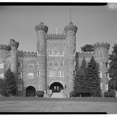
Lindenwold Castle
10.1 km
Elmwood Park Zoo
10.4 km
Evansburg State Park
6.8 km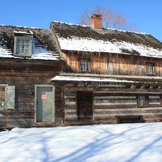
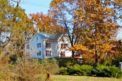
Edward Morgan Log House
3.5 km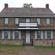
Peter Wentz Homestead
4.2 km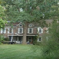
Dawesfield
8.1 km
Old Norriton Presbyterian Church
9.7 km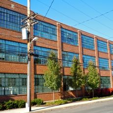
Lansdale Silk Hosiery Compy-Interstate Hosiery Mills, Inc.
2.5 km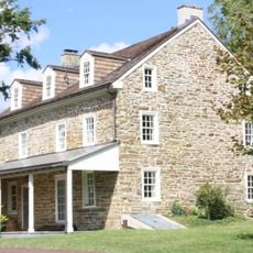
Knapp Farm
4 km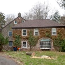
Kuster Mill
10.6 km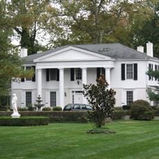
Gwynedd Hall
4.2 km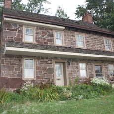
Warren Z. Cole House
8.3 km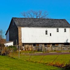
Isaac Kulp Farm
3.2 km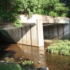
Bridge in Franconia Township
8.8 km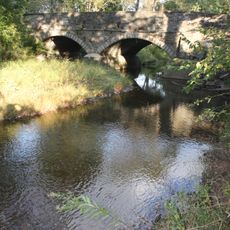
Bridge in Hatfield Township
7.5 km
Anthony Morris House
7.4 km
Chalfont Historic District
10.6 km
Dielman Kolb Homestead
10 km
Jacob Kastner Loghouse
7.8 km
Knipe–Johnson Farm
3.4 km
Kenderdine Mill Complex
10.3 km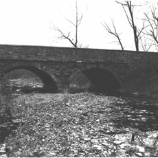
Horsham–Montgomery Bridge
8.7 km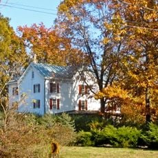
Knipe-Moore-Rupp Farm
2.8 km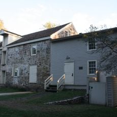
Keefe-Mumbower Mill
3.5 km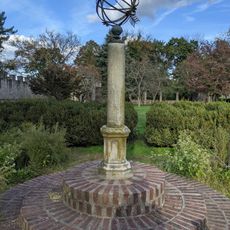
The Highlands Mansion and Gardens
10.6 km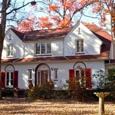
Oak Park Historic District
4 km
Ambler Theatre
9.2 km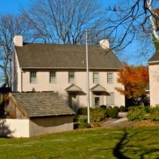
Jenkins Homestead
2.4 kmReviews
Visited this place? Tap the stars to rate it and share your experience / photos with the community! Try now! You can cancel it anytime.
Discover hidden gems everywhere you go!
From secret cafés to breathtaking viewpoints, skip the crowded tourist spots and find places that match your style. Our app makes it easy with voice search, smart filtering, route optimization, and insider tips from travelers worldwide. Download now for the complete mobile experience.

A unique approach to discovering new places❞
— Le Figaro
All the places worth exploring❞
— France Info
A tailor-made excursion in just a few clicks❞
— 20 Minutes