Montgomery County, Administrative region in southeastern Pennsylvania, United States
Montgomery County is an administrative region in southeastern Pennsylvania spanning approximately 1,260 square kilometers (487 square miles), containing a mix of suburban neighborhoods near Philadelphia and rural zones to the north. The territory divides into 62 municipalities and runs along the Schuylkill River, which flows north to south through several older industrial towns along its banks.
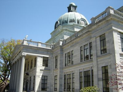
This territory separated from the original Philadelphia County lands on September 10, 1784, taking its name from American general Richard Montgomery, who died during the siege of Quebec in 1775. Norristown became the administrative seat and has remained the central government hub for the region ever since.
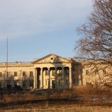
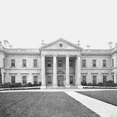
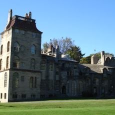
Many place names throughout the territory carry Welsh origins like Bala Cynwyd or Bryn Mawr, recalling early immigration from Wales. Visitors can still find stone farmhouses and manor estates from the 18th century along back roads, now often serving as event venues or local museums.
Visitors can reach most towns through regional rail and bus services operated by SEPTA, which provide regular connections to Philadelphia and between larger communities. The southern border holds denser residential development, while the northern sections offer more open land and a less urban feel.
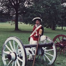
The territory includes Valley Forge National Historical Park, where Washington's troops camped during the winter of 1777 to 1778 and where reconstructed soldier huts and fortifications still stand today. The town of Lansdale hosts the region's largest beer festival every year, showcasing small breweries from across Pennsylvania.
The community of curious travelers
AroundUs brings together thousands of curated places, local tips, and hidden gems, enriched daily by 60,000 contributors worldwide.