Village Creek State Park, State park in Wynne, Arkansas, US.
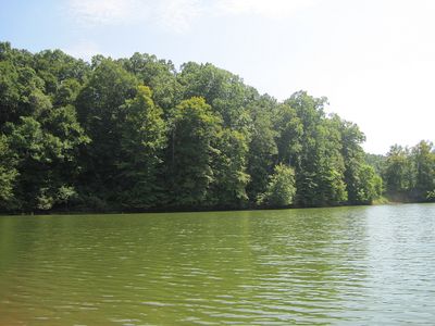
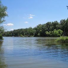
Village Creek State Park is a forested state park in Arkansas featuring rolling hills, streams, and an extensive trail system for hiking. The park offers rustic cabins and campsites for overnight stays, making it accessible for different types of visitors.
The area became a significant waypoint during the forced westward relocation of Native American tribes in the 1830s. A section of this historical trail remains preserved within the park today.
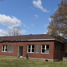
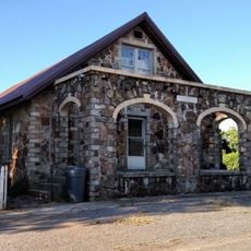
The historic store building within the park grounds recalls the period when Native American tribes passed through on their forced journey westward. Visitors walking this area can sense the weight of that chapter in American history.
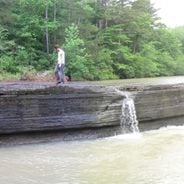
The park offers well-marked trails of varying difficulty levels with rest areas along the routes for comfortable walking. Wear sturdy shoes and prepare for weather conditions typical of the season you visit.
The park grounds feature a championship-caliber golf course with 27 holes laid out by a renowned course designer. This facility appeals to golfers seeking to combine outdoor recreation with their sport in a natural setting.
The community of curious travelers
AroundUs brings together thousands of curated places, local tips, and hidden gems, enriched daily by 60,000 contributors worldwide.