Chest opened
+${chestReward.xp} XP
Explorer
NOUVEAU ×${chestReward.collectible.quantity}
tapez pour fermer
Chest locked

Open chests in the app

Around Us is built for your phone — chests unlock when you walk, explore and capture nearby places.

Enable Location

We need your location to show you interesting places around you

Discover nearby places

Find interesting locations and hidden gems around you

Precise directions

Get accurate directions and distances to places

Your location is never shared with other users. It's only used when you tap the location button.

Log in to your account

Start exploring — it's free

Trusted by 72,986 travelers worldwide

Continue with Google
Continue with Apple
or

We will send you a code to connect

By continuing, you accept our Terms and Conditions and our Privacy Policy

Check your inbox

We've sent a pincode in your inbox. Please enter the code below.

Leatherwood Wilderness
Discussion Reviews Photo
2.3k Popularity

Leatherwood Wilderness, Natural wilderness area in Arkansas, United States.

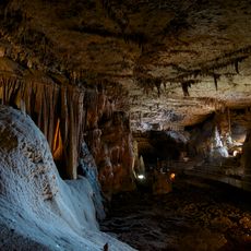
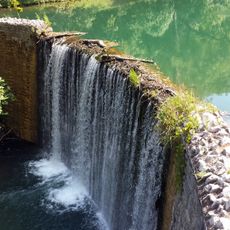
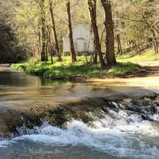
Leatherwood Wilderness is a protected natural area within the Ozark National Forest featuring steep valleys, high ridges, and dense hardwood forests. The landscape encompasses rushing streams, rocky outcrops, and mature woodland that covers the rolling terrain.

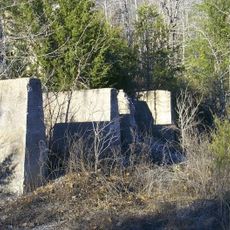
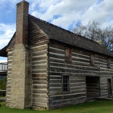
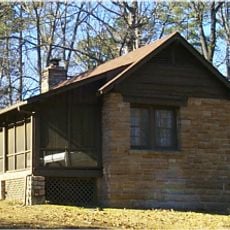
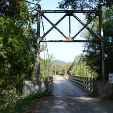
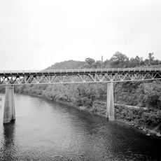
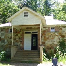
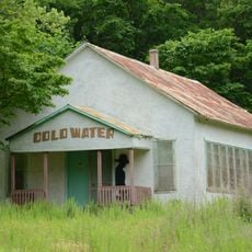
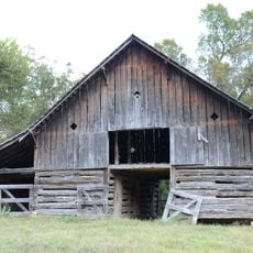
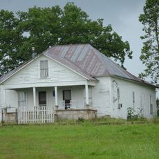
The land contains traces of early settlements and abandoned homesteads from previous centuries that are slowly being reclaimed by regrowing forests. This gradual return to wilderness reflects broader changes in how the region has been used over time.

The wilderness designation promotes environmental preservation by restricting motorized vehicles and maintaining primitive conditions for outdoor recreation and education.

The area can be accessed from multiple trailheads off Forest Service Road 1100, with good conditions for hiking and exploring on foot. The terrain is undeveloped and rugged, so visitors should come prepared for uneven ground and natural obstacles.

The area connects directly to the Lower Buffalo Wilderness Unit, forming an extended protected corridor where animals can move freely over long distances. This linkage allows wild populations to travel and interact across a much larger landscape than isolated reserves typically support.

The community of curious travelers

AroundUs brings together thousands of curated places, local tips, and hidden gems, enriched daily by 60,000 contributors worldwide.

Start exploring
Location
GPS coordinates
36.05870,-92.35850
Latest update
December 13, 2025 11:41
Around this place
Blanchard Springs Caverns
United States of America

Blanchard Springs Caverns

19.3 km
Rush Historic District
United States of America

Rush Historic District

20.8 km
Jacob Wolf House
United States of America

Jacob Wolf House

18.1 km
Buffalo River State Park
United States of America

Buffalo River State Park

19 km
Cotter High School
United States of America

Cotter High School

28.5 km
Sylamore Creek Bridge
United States of America

Sylamore Creek Bridge

25.3 km
North Fork Bridge
United States of America

North Fork Bridge

18.4 km
Mount Olive Cumberland Presbyterian Church
United States of America

Mount Olive Cumberland Presbyterian Church

24.6 km
John Avey Barn
United States of America

John Avey Barn

19.6 km
Cold Springs School
United States of America

Cold Springs School

10.1 km
Mirror Lake Historic District
United States of America

Mirror Lake Historic District

19.9 km
Cotter Water Tower
United States of America

Cotter Water Tower

28.5 km
Cold Water School
United States of America

Cold Water School

12.5 km
Alco School
United States of America

Alco School

18.7 km
Roasting Ear Church and School
United States of America

Roasting Ear Church and School

13.9 km
Rollins Hospital
United States of America

Rollins Hospital

27.8 km
Horace Mann School Historic District
United States of America

Horace Mann School Historic District

17.6 km
Boswell School
United States of America

Boswell School

27.4 km
Jasper E. Treece Building
United States of America

Jasper E. Treece Building

27.3 km
Bluff Springs Church and School
United States of America

Bluff Springs Church and School

15.3 km
Calico Rock Methodist Episcopal Church
United States of America

Calico Rock Methodist Episcopal Church

20.6 km
Davis House
United States of America

Davis House

18 km
Calico Rock Historic District
United States of America

Calico Rock Historic District

20.5 km
Orvall Gammill Barn
United States of America

Orvall Gammill Barn

18.2 km
Buford School Building
United States of America

Buford School Building

22 km
Sylvester Smith Farmstead
United States of America

Sylvester Smith Farmstead

28.4 km
Clarence Anderson Barn
United States of America

Clarence Anderson Barn

21.2 km
Calico Rock Home Economics Building
United States of America

Calico Rock Home Economics Building

21.2 km
Show the full map
Reviews
Share your experience

No review yet

Discussions
Start a discussion...

No discussion yet

« Leatherwood Wilderness - Natural wilderness area in Arkansas, United States » is provided by Around Us (aroundus.com). Images and texts are derived from Wikimedia project under a Creative Commons license. You are allowed to copy, distribute, and modify copies of this page, under the conditions set by the license, as long as this note is clearly visible.

Discover hidden gems everywhere you go!

From secret cafés to breathtaking viewpoints, skip the crowded tourist spots and find places that match your style. Our app makes it easy with voice search, smart filtering, route optimization, and insider tips from travelers worldwide. Download now for the complete mobile experience.

Around Us App Screenshot

A unique approach to discovering new places

Le Figaro

All the places worth exploring

France Info

A tailor-made excursion in just a few clicks

20 Minutes

Around Us
Travel Guide & Maps
Download

Send to your phone

QR Code
1

Open the camera app on your mobile.

2

Point at the QR code with your camera. A notification will appear.

3

Tap the notification to open the link.