Enable Location

We need your location to show you interesting places around you

Discover nearby places

Find interesting locations and hidden gems around you

Precise directions

Get accurate directions and distances to places

Your location is never shared with other users. It's only used when you tap the location button.

Holy Corners Historic District

Log in to your account

Start exploring — it's free

Trusted by 62,199 travelers worldwide

Continue with Google
Continue with Apple
or

We will send you a code to connect

By continuing, you accept our Terms and Conditions and our Privacy Policy

Check your inbox

We've sent a pincode in your inbox. Please enter the code below.

Holy Corners Historic District, Historic district in Central West End, St. Louis, United States.

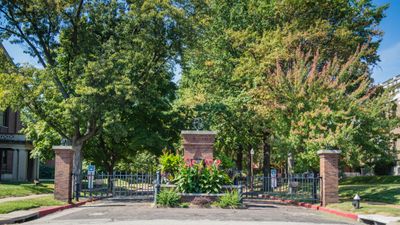
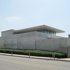
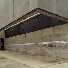
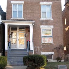
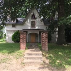
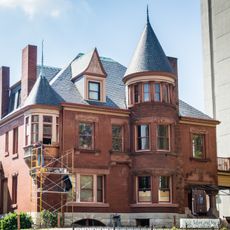
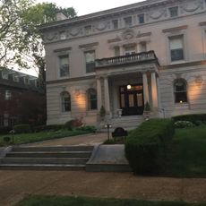
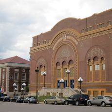
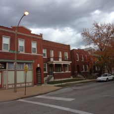
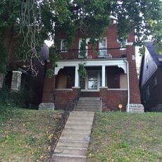
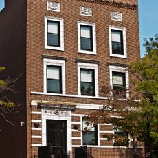
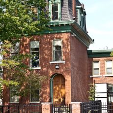
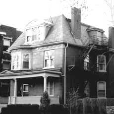
Holy Corners Historic District is a collection of buildings along North Kingshighway Boulevard in the Central West End neighborhood with structures from different periods of construction. The area spans between Westminster Place and Washington Avenue and includes churches, temples, and public buildings that form the district's character.

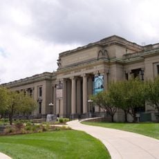
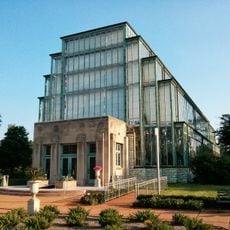
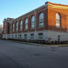
The area took shape in the early 1900s as religious institutions built their structures in this region of the city. Official recognition came in 1975 when it was added to the National Register of Historic Places for its architectural and historical importance.

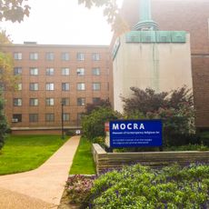
The area gets its name from the concentration of religious buildings and public assembly spaces built in the early 1900s that gathered different faith communities in one place. This gathering of various traditions still marks how people experience and value the district today.

Visitors can walk through the district freely to view the buildings from the outside and explore the different architectural styles. Organized tours led by local preservation groups offer detailed information about the history and features of specific structures if you want more in-depth guidance.

The district brings together four different religious tradition buildings built between 1902 and 1908, showing how different faith communities grew alongside each other. This rare concentration of religious diversity at one intersection is unusual for urban development patterns of that era.

The community of curious travelers

AroundUs brings together thousands of curated places, local tips, and hidden gems, enriched daily by 60,000 contributors worldwide.

Start exploring
Location
GPS coordinates
38.64970,-90.26360
Latest update
December 14, 2025 18:05
Around this place
Forest Park
United States of America

Forest Park

2.2 km
Saint Louis Science Center
United States of America

Saint Louis Science Center

2.4 km
Missouri History Museum
United States of America

Missouri History Museum

2 km
United States of America

Gaslight Square, St. Louis

1.4 km
Pulitzer Foundation for the Arts
United States of America

Pulitzer Foundation for the Arts

2.7 km
Jewel Box
United States of America

Jewel Box

2.2 km
Portland and Westmoreland Places
United States of America

Portland and Westmoreland Places

610 m
Contemporary Art Museum St. Louis
United States of America

Contemporary Art Museum St. Louis

2.7 km
Shelley House
United States of America

Shelley House

2.6 km
Queeny Tower
United States of America

Queeny Tower

1.6 km
Emmanuel DeHodiamont House
United States of America

Emmanuel DeHodiamont House

2.8 km
Museum of Contemporary Religious Art
United States of America

Museum of Contemporary Religious Art

2.7 km
Butler House
United States of America

Butler House

1.2 km
United States of America

Union Avenue Opera

1 km
Orthwein Mansion
United States of America

Orthwein Mansion

388 m
Kate Chopin House
United States of America

Kate Chopin House

1.5 km
Hamilton Place Historic District
United States of America

Hamilton Place Historic District

2.6 km
Midtown Historic District
United States of America

Midtown Historic District

2.7 km
Forest Park Southeast Historic District
United States of America

Forest Park Southeast Historic District

2.4 km
Waterman Place-Kingsbury Place-Washington Terrace Historic District
United States of America

Waterman Place-Kingsbury Place-Washington Terrace Historic District

1.1 km
World Chess Hall of Fame
United States of America

World Chess Hall of Fame

623 m
Dr. Herman S. Dreer House
United States of America

Dr. Herman S. Dreer House

2 km
Pendennis Club Apartment Building
United States of America

Pendennis Club Apartment Building

2.7 km
Zebediah F. and Mary H. Wetzell House
United States of America

Zebediah F. and Mary H. Wetzell House

2.7 km
St. Louis Municipal Opera Theatre
United States of America

St. Louis Municipal Opera Theatre

1.8 km
Joseph Erlanger House
United States of America

Joseph Erlanger House

383 m
Jefferson Memorial
United States of America

Jefferson Memorial

2 km
Downtown YMCA Building
United States of America

Downtown YMCA Building

2.1 km
Show the full map
« Holy Corners Historic District - Historic district in Central West End, St. Louis, United States » is provided by Around Us (aroundus.com). Images and texts are derived from Wikimedia project under a Creative Commons license. You are allowed to copy, distribute, and modify copies of this page, under the conditions set by the license, as long as this note is clearly visible.

Discover hidden gems everywhere you go!

From secret cafés to breathtaking viewpoints, skip the crowded tourist spots and find places that match your style. Our app makes it easy with voice search, smart filtering, route optimization, and insider tips from travelers worldwide. Download now for the complete mobile experience.

Around Us App Screenshot

A unique approach to discovering new places

Le Figaro

All the places worth exploring

France Info

A tailor-made excursion in just a few clicks

20 Minutes

Around Us
Travel Guide & Maps
Download

Send to your phone

QR Code
1

Open the camera app on your mobile.

2

Point at the QR code with your camera. A notification will appear.

3

Tap the notification to open the link.