
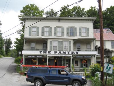
South Londonderry Village Historic District
South Londonderry Village Historic District, historic district in Londonderry, Vermont
Location: Londonderry
Address: Church, Main, River, School, and Farnum Sts., and Melendy Hill Rd.
GPS coordinates: 43.18833,-72.81194
Latest update: March 7, 2025 19:24
Stratton Mountain
14.6 km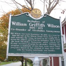
Bill Wilson House
17 km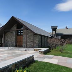
Weston Priory
16.7 km
Jamaica State Park
9.7 km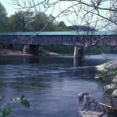
Scott Covered Bridge
18.2 km
Terrible Mountain
15 km
Park Farm
15.2 km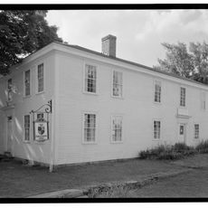
Farrar-Mansur House
11.7 km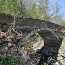
West Townshend Stone Arch Bridge
14.2 km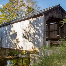
Kidder Covered Bridge
16.9 km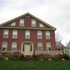
John Wilder House
11.6 km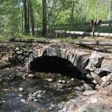
Follett Stone Arch Bridge Historic District
17.7 km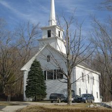
Windham Village Historic District
7 km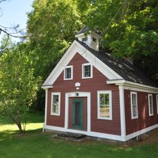
Middletown Rural Historic District
15.3 km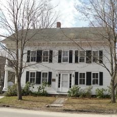
Grafton Public Library
16.7 km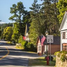
Grafton Village Historic District
16.8 km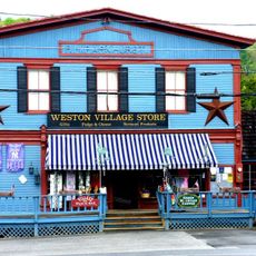
Weston Village Historic District
11.6 km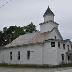
Londonderry Town House
753 m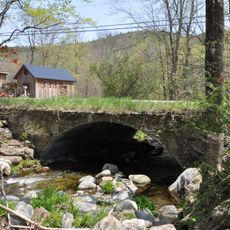
Simpsonville Stone Arch Bridge
18.3 km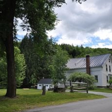
Mechanicsville Historic District
17.4 km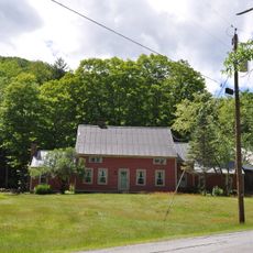
Houghtonville Historic District
13.4 km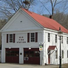
Grafton District Schoolhouse No. 2
16.7 km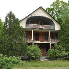
Simons' Inn
10.9 km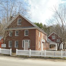
Milldean and Alexander-Davis House
16.7 km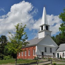
South Windham Village Historic District
10.4 km
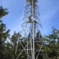
Stratton Mountain Lookout Tower
14.6 km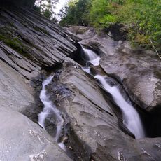
Hamilton Falls
7 km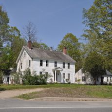
West Townshend Village Historic District
14.2 kmVisited this place? Tap the stars to rate it and share your experience / photos with the community! Try now! You can cancel it anytime.
Discover hidden gems everywhere you go!
From secret cafés to breathtaking viewpoints, skip the crowded tourist spots and find places that match your style. Our app makes it easy with voice search, smart filtering, route optimization, and insider tips from travelers worldwide. Download now for the complete mobile experience.

A unique approach to discovering new places❞
— Le Figaro
All the places worth exploring❞
— France Info
A tailor-made excursion in just a few clicks❞
— 20 Minutes