Chest opened
+${chestReward.xp} XP
Explorer
NOUVEAU ×${chestReward.collectible.quantity}
tapez pour fermer

See the monuments around you in AR Open chests in the app

Around Us is built for your phone — point your camera at the streets and discover the monuments and places around you in augmented reality. Around Us is built for your phone — chests unlock when you walk, explore and capture nearby places.

•

Enable Location

We need your location to show you interesting places around you

Discover nearby places

Find interesting locations and hidden gems around you

Precise directions

Get accurate directions and distances to places

Your location is never shared with other users. It's only used when you tap the location button.

Spencer Dam

Log in to your account

Start exploring — it's free

Trusted by 94,571 travelers worldwide

Continue with Google
Continue with Apple
or

We will send you a code to connect

By continuing, you accept our Terms and Conditions and our Privacy Policy

Check your inbox

We've sent a pincode in your inbox. Please enter the code below.

Spencer Dam, Dam in Holt County, Nebraska, United States

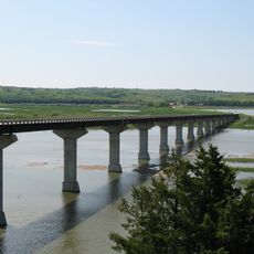
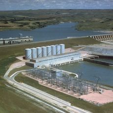
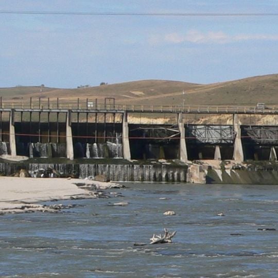
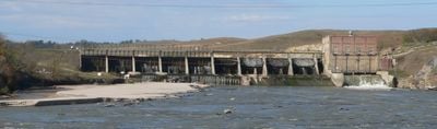
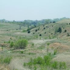
Spencer Dam is a former hydroelectric dam on the Niobrara River in Holt County, Nebraska. The structure consists of a long concrete spillway with vertical piers and metal railings, and an earth embankment that extends to the south side of the valley.

Spencer Dam was built in 1927 and produced electricity for decades. It was damaged by an ice jam in 1935 and rebuilt in 1940, then failed completely in March 2019 after a severe storm.

The name Spencer comes from the nearby town and is still used for the dam site. Local people remember the dam as part of the river's history, and its failure is a story that is passed down in the community.

The dam site is in a rural area and can be reached by car, but there are no formal visitor facilities. The structure is not accessible to the public, so it is best viewed from a distance or from nearby roads.

The dam was designed to let sediment pass through by opening its gates twice a year, a practice that sometimes harmed fish. After the 2019 failure, the remaining structure was left in place, and the river now flows freely through the site.

The community of curious travelers

AroundUs brings together thousands of curated places, local tips, and hidden gems, enriched daily by 94,571 contributors worldwide.
Start exploring
Location
Elevation above the sea
461 m
GPS coordinates
42.80449,-98.66000
Latest update
November 10, 2026 08:13
Around this place
Ashfall Fossil Beds
United States of America

Ashfall Fossil Beds

36.6 mi
Niobrara Formation
United States of America

Niobrara Formation

31.7 mi
Niobrara State Park
United States of America

Niobrara State Park

31 mi
Chief Standing Bear Memorial Bridge
United States of America

Chief Standing Bear Memorial Bridge

34.1 mi
Mars, Nebraska
United States of America

Mars, Nebraska

37.3 mi
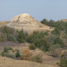
Old Baldy
United States of America

Old Baldy

13 mi
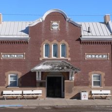
Z.C.B.J. Opera House
United States of America

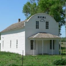
Z.C.B.J. Opera House

34.9 mi
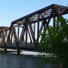
Niobrara River Bridge
United States of America

Niobrara River Bridge

31.1 mi
Ashfall Fossil Beds State Historical Park
United States of America

Ashfall Fossil Beds State Historical Park

37.1 mi
Herrick Elevator
United States of America

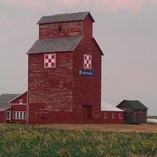
Herrick Elevator

34.5 mi
Rad Sladkovsky
United States of America

Rad Sladkovsky

23.4 mi
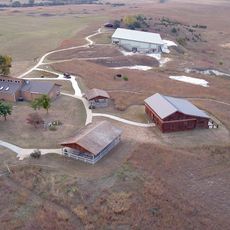
Rouse Ranch
United States of America

Rouse Ranch

8.2 mi
Brantly Sturdevant House
United States of America

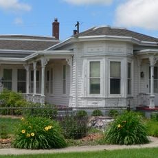
Brantly Sturdevant House

25 mi
Armour Historic District
United States of America

Armour Historic District

39 mi
Holt County Courthouse
United States of America

Holt County Courthouse

23.9 mi
Charles Mix County Courthouse
United States of America

Charles Mix County Courthouse

25.1 mi
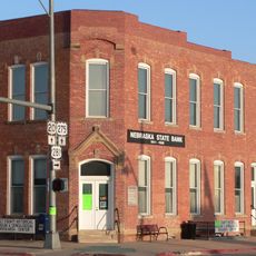
Old Nebraska State Bank Building
United States of America

Old Nebraska State Bank Building

24 mi
Ponca Tribal Self-Help Community Building Historic District
United States of America

Ponca Tribal Self-Help Community Building Historic District

29.8 mi
Douglas County Courthouse
United States of America

Douglas County Courthouse

38.7 mi
Wagner House
United States of America

Wagner House

32 mi
Karl E. Mundt National Wildlife Refuge
United States of America

Karl E. Mundt National Wildlife Refuge

16.3 mi
Gross State Aid Bridge
United States of America

Gross State Aid Bridge

33 mi
United States of America

South Shore Recreation Area

17.3 mi
Lake Francis Case
United States of America

Lake Francis Case

18.3 mi
United States of America

Ancient Tortoise

36.9 mi
United States of America

Battling Rhinos

36.9 mi
United States of America

Geology Overlook

36.9 mi
United States of America

Geology Overlook

36.9 mi
Show the full map
Reviews
Share your experience

No review yet

Discussions
Start a discussion...

No discussion yet

« Spencer Dam - Dam in Holt County, Nebraska, United States » is provided by Around Us (aroundus.com). Images and texts are derived from Wikimedia project under a Creative Commons license. You are allowed to copy, distribute, and modify copies of this page, under the conditions set by the license, as long as this note is clearly visible.

Discover hidden gems everywhere you go!

From secret cafés to breathtaking viewpoints, skip the crowded tourist spots and find places that match your style. Our app makes it easy with voice search, smart filtering, route optimization, and insider tips from travelers worldwide. Download now for the complete mobile experience.

Around Us App Screenshot
❝

A unique approach to discovering new places❞

— Le Figaro

❝

All the places worth exploring❞

— France Info

❝

A tailor-made excursion in just a few clicks❞

— 20 Minutes

Around Us
Travel Guide & Maps
Download

Send to your phone

QR Code
1

Open the camera app on your mobile.

2

Point at the QR code with your camera. A notification will appear.

3

Tap the notification to open the link.