
Wall Park, local park in North Bethesda, Maryland, United States
Location: Montgomery County
Inception: 1977
Elevation above the sea: 118 m
Address: 5900 Executive Blvd, Rockville, MD 20852
Website: https://montgomeryparks.org/parks-and-trails/wall-local-park
GPS coordinates: 39.04528,-77.11944
Latest update: March 19, 2025 00:19
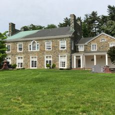
Wilkins Estate
2.5 km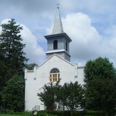
Third Addition to Rockville and Old St. Mary's Church and Cemetery
4.7 km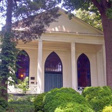
Bethesda Meeting House
4.3 km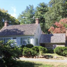
Riley-Bolten House
228 m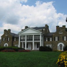
Glenview Farm
4.7 km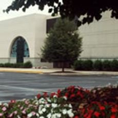
Beth Sholom Congregation and Talmud Torah
3.8 km
B'nai Israel Congregation
1.2 km
Hammond Wood Historic District
4.4 km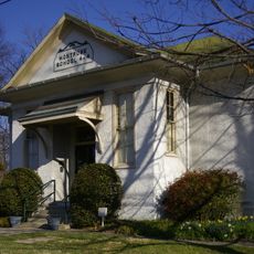
Montrose School
1 km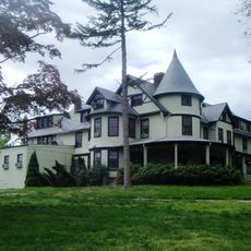
Kensington Historic District
4.4 km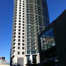
North Bethesda Market
661 m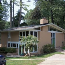
Rock Creek Woods Historic District
3.5 km
Cedar Lane Unitarian Universalist Church
4.4 km
Rockville Park Historic District
4.4 km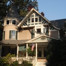
Garrett Park Historic District
2.4 km
Music Center at Strathmore
2.1 km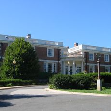
Mansion at Strathmore
2 km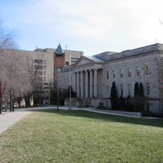
Montgomery County Circuit Courthouses
5 km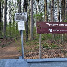
Wyngate Woods Park
4 km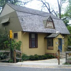
Noyes Library For Young Children
4.6 km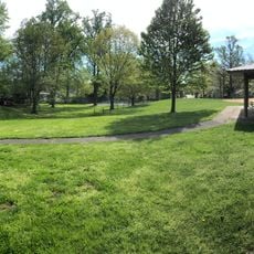
Hillcrest Park
3.8 km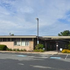
Davis Library
2.6 km
Bradley Hills Park
5 km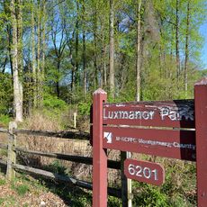
Luxmanor Park
699 m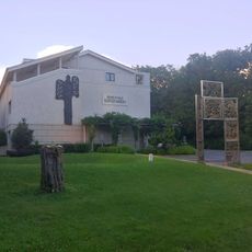
The Ratner Museum
2.9 km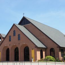
St. Jane Frances de Chantal, Bethesda
3.6 km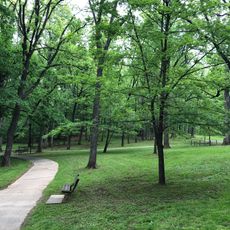
Cabin John Regional Park
2.8 km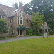
Gifford Pinchot Forest Building
2.8 kmReviews
Visited this place? Tap the stars to rate it and share your experience / photos with the community! Try now! You can cancel it anytime.
Discover hidden gems everywhere you go!
From secret cafés to breathtaking viewpoints, skip the crowded tourist spots and find places that match your style. Our app makes it easy with voice search, smart filtering, route optimization, and insider tips from travelers worldwide. Download now for the complete mobile experience.

A unique approach to discovering new places❞
— Le Figaro
All the places worth exploring❞
— France Info
A tailor-made excursion in just a few clicks❞
— 20 Minutes