Ngaanyatjarra-Giles, locality in Western Australia
Location: Western Australia
Location: Shire of Ngaanyatjarraku
GPS coordinates: -26.08428,127.72231
Latest update: November 22, 2025 10:28
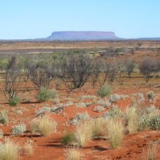
Outback
258.7 km
Surveyor Generals Corner
128.3 km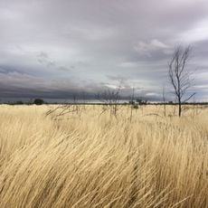
Gibson Desert Nature Reserve
258.2 km
Tjunti
206.2 km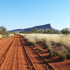
Mount Leisler
348.5 km
Mount Davies
154.2 km
Alice Falls
141 km
Scarface
146.4 km
Mount Russell
139.3 km
Mount Mein
325.8 km
Ainslie Gorge
108 km
Mount Gibraltar
173.1 km
Mount Samuel
183.2 km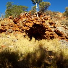
Lasseter's Cave
205.6 km
Dulgunja Hill
143.8 km
Mount Sargood
179.6 km
Mount Taylor
189.3 km
Mount Hastie
190.9 km
Notabilis Hill
222.9 km
Rebecca Hill
174.1 km
Gosse Pile
160.1 km
Thryptomene Hill
214.4 km
Bryson Hill
191.6 km
Bungabiddy Rockhole
189.9 km
Tropic of Capricorn Plaque
337.5 km
Len Beadell Gunbarrell Road Crew Grader
130.7 km
State Border Marker
350 km
Ruins
143.9 kmReviews
Visited this place? Tap the stars to rate it and share your experience / photos with the community! Try now! You can cancel it anytime.
Discover hidden gems everywhere you go!
From secret cafés to breathtaking viewpoints, skip the crowded tourist spots and find places that match your style. Our app makes it easy with voice search, smart filtering, route optimization, and insider tips from travelers worldwide. Download now for the complete mobile experience.

A unique approach to discovering new places❞
— Le Figaro
All the places worth exploring❞
— France Info
A tailor-made excursion in just a few clicks❞
— 20 Minutes