Enable Location

We need your location to show you interesting places around you

Discover nearby places

Find interesting locations and hidden gems around you

Precise directions

Get accurate directions and distances to places

Your location is never shared with other users. It's only used when you tap the location button.

Hennef

Log in to your account

Start exploring — it's free

Trusted by 62,855 travelers worldwide

Continue with Google
Continue with Apple
or

We will send you a code to connect

By continuing, you accept our Terms and Conditions and our Privacy Policy

Check your inbox

We've sent a pincode in your inbox. Please enter the code below.

Hennef, Administrative municipality in Rhein-Sieg District, Germany.

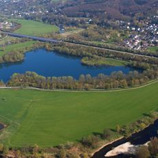
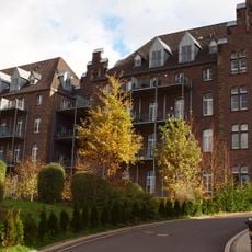
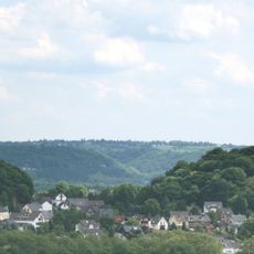
Hennef is an administrative municipality in Rhein-Sieg District, Germany, located along the River Sieg. The municipal area comprises numerous districts and formerly independent communities that now form the town together.

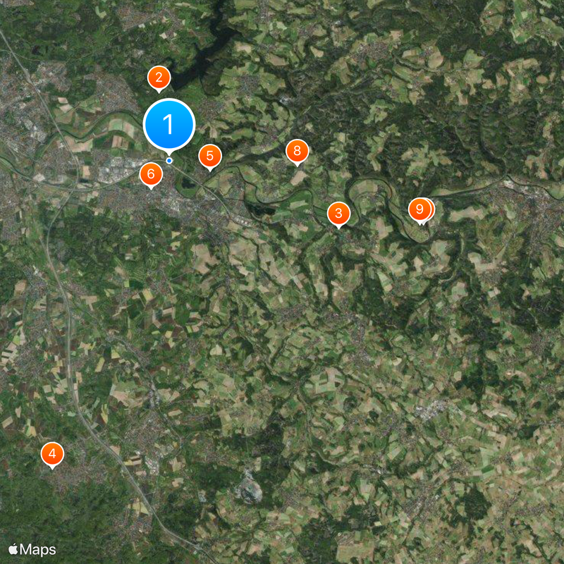
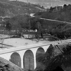
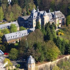
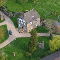
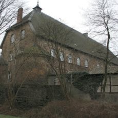
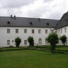
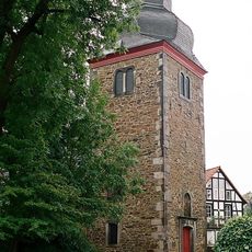
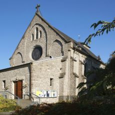
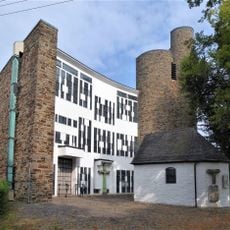
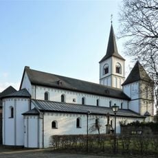
The first mention of Hennef dates back to 885, while the medieval fortification Stadt Blankenberg was built around 1180. Parts of this old fortress remain preserved to this day.

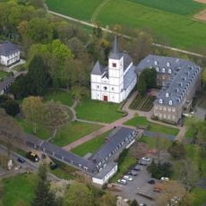
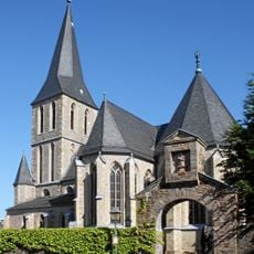
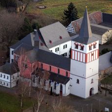
St Catherine's Church displays wall paintings from the 1200s and 1300s, while the Tower Museum opens during warmer months to present local heritage. Visitors can see how life along the Sieg developed through the centuries.

The town maintains direct rail connections to Cologne and Bonn, with the main station located roughly 29 kilometers from Cologne and 14 kilometers from Bonn. The numerous districts are linked through a network of roads and public transport.

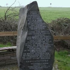
In 1883, residents Carl Reuther and Eduard Reisert invented an automatic balance scale, commemorated through a 22-stop Weigher Walking Way around town. This walking route tells the story of the local invention and its importance for the development of weighing technology.

The community of curious travelers

AroundUs brings together thousands of curated places, local tips, and hidden gems, enriched daily by 60,000 contributors worldwide.

Start exploring
Elevation above the sea
68 m
GPS coordinates
50.78333,7.28333
Latest update
December 14, 2025 17:10
« Hennef - Administrative municipality in Rhein-Sieg District, Germany » is provided by Around Us (aroundus.com). Images and texts are derived from Wikimedia project under a Creative Commons license. You are allowed to copy, distribute, and modify copies of this page, under the conditions set by the license, as long as this note is clearly visible.

Discover hidden gems everywhere you go!

From secret cafés to breathtaking viewpoints, skip the crowded tourist spots and find places that match your style. Our app makes it easy with voice search, smart filtering, route optimization, and insider tips from travelers worldwide. Download now for the complete mobile experience.

Around Us App Screenshot

A unique approach to discovering new places

Le Figaro

All the places worth exploring

France Info

A tailor-made excursion in just a few clicks

20 Minutes

Around Us
Travel Guide & Maps
Download

Send to your phone

QR Code
1

Open the camera app on your mobile.

2

Point at the QR code with your camera. A notification will appear.

3

Tap the notification to open the link.