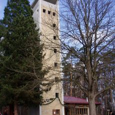
Filderstadt, Municipality in Esslingen district, Baden-Württemberg, Germany.
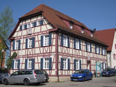
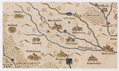
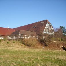
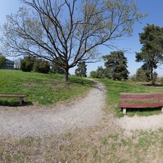
Filderstadt is a municipality in Esslingen district, Baden-Württemberg, made up of five parts: Bernhausen, Bonlanden, Plattenhardt, Sielmingen, and Harthausen. These areas sit on the Filder plateau south of Stuttgart near the airport, at an elevation of around 371 meters (1217 feet) above sea level.
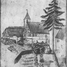
The five originally independent villages of Bernhausen, Bonlanden, Plattenhardt, Sielmingen, and Harthausen merged in 1975 to form a single administrative unit. This reorganization took place during a wider regional reform in Baden-Württemberg that brought together many smaller settlements into larger municipalities.
The FILharmonie cultural venue in Bernhausen hosts a varied program throughout the year, including symphony orchestras, modern dance ensembles, and touring theater productions in a purpose-built hall. Visitors can attend performances by both regional groups and international guest artists, experiencing a wide range of styles in a contemporary setting.
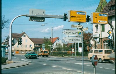
The five districts lie close to each other and are easy to reach by car, bus, or commuter train, since the area sits between the A8 motorway and the B27 highway. Stuttgart Airport borders the municipality directly, and S-Bahn lines link all parts to the state capital.
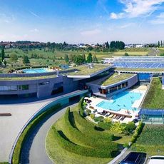
The Fildorado leisure center in Bonlanden combines thermal baths with wave pools, sauna areas, and sports zones that locals and visitors use throughout the year. The facility serves as a regional gathering spot for relaxation and exercise in an area otherwise known for its proximity to Stuttgart Airport and the trade fair grounds.
The community of curious travelers
AroundUs brings together thousands of curated places, local tips, and hidden gems, enriched daily by 60,000 contributors worldwide.