Wermelskirchen, Medium-sized district town in Rhein-Berg District, Germany.
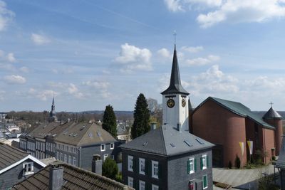
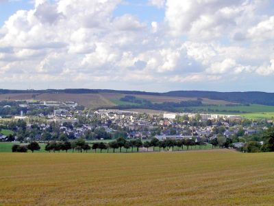
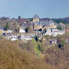
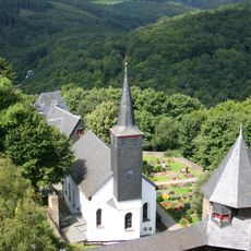
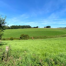
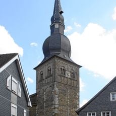
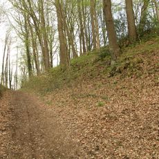
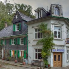
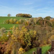
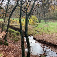
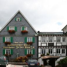
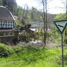
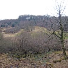
Wermelskirchen is a medium-sized district town in Rhein-Berg District, North Rhine-Westphalia, spreading across rolling hills at around 345 meters (1,130 feet) elevation. Dense forests and traditional slate houses shape the townscape in this hilly terrain.
The settlement emerged in medieval times as part of the earldom of Berg and developed over centuries under changing rulers. With the incorporation of the Rhineland into Prussian territory, the administrative structure changed fundamentally.
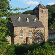
The municipal coat of arms displays a silver shield featuring an oak tree, a swan, and a church, representing local heritage elements. These symbols appear at official occasions and remind visitors of the long connection between town and region.
The town sits around 35 kilometers (22 miles) from Cologne and about 45 kilometers (28 miles) from Düsseldorf, connected through regional transport routes. Visitors can reach the center and surrounding forest areas easily on foot or by bicycle.
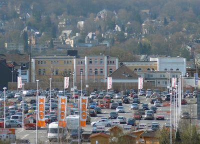
The European headquarters of the home improvement retail chain OBI operates from this North Rhine-Westphalian town. The company employs several hundred people here and manages branches in many countries from this location.
The community of curious travelers
AroundUs brings together thousands of curated places, local tips, and hidden gems, enriched daily by 60,000 contributors worldwide.