
Metzels, municipality of Germany
Location: Wasungen
Elevation above the sea: 450 m
Area: 16.17 km²
Website: http://metzels.de
GPS coordinates: 50.64699,10.43474
Latest update: March 6, 2025 05:25
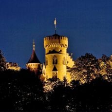
Schloß Landsberg
5.9 km
Dolmar
4 km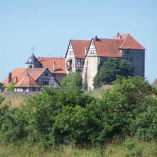
Kuehndorf Castle
5.8 km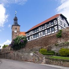
Kirchenburg Walldorf
5 km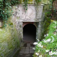
Märchen- und Sandsteinhöhle Walldorf
5.3 km
Burg Maienluft
5 km
Burg Landeswehre
5.9 km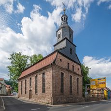
Totenhofskirche
8.2 km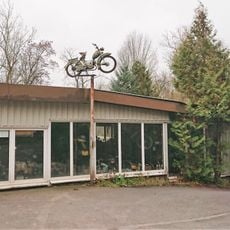
Meininger Zweirad Museum
6.2 km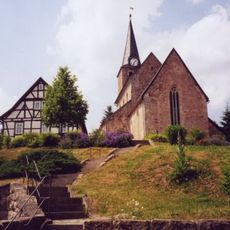
Unserer Lieben Frauen
3.5 km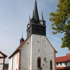
Kirchenburg Schwallungen
7.6 km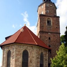
St. Trinitatis (Wasungen)
5 km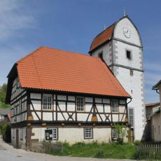
Kirche Wallbach
3.5 km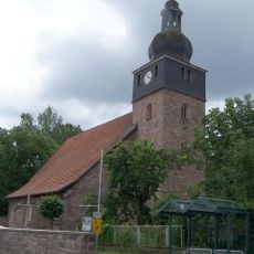
Church Haindorf
7.9 km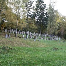
Jüdischer Friedhof Walldorf
5.1 km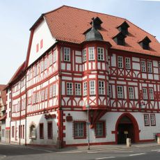
Rathaus
5 km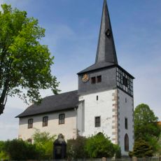
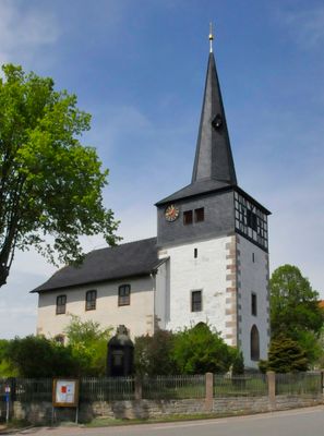
St. Nikolai
122 m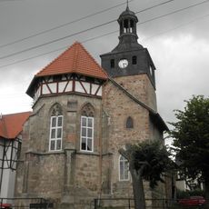
St. Dionysius (Kühndorf)
5.8 km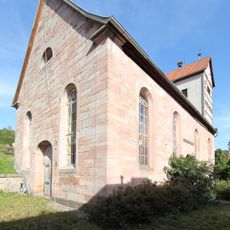
Dorfkirche Wahns
7.3 km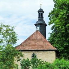
Dorfkirche Welkershausen
3.5 km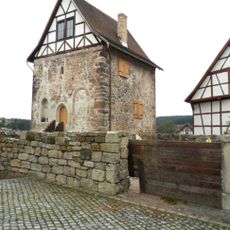
Kemenate Schwallungen
7.4 km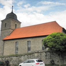
Dorfkirche Utendorf
4.4 km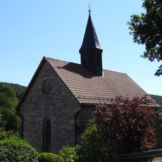
Protestant Church Möckers
7 km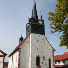
Protestant Church Schwallungen
7.4 km
Protestant Church (Melkers)
6.8 km
Protestant Church (Mehmels)
7.3 km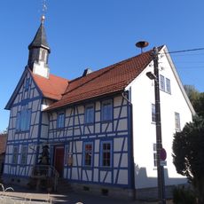
Protestant Church Breitenbach
6.1 km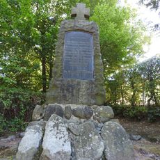
War memorial in Haindorf (Schmalkalden)
7.9 kmReviews
Visited this place? Tap the stars to rate it and share your experience / photos with the community! Try now! You can cancel it anytime.
Discover hidden gems everywhere you go!
From secret cafés to breathtaking viewpoints, skip the crowded tourist spots and find places that match your style. Our app makes it easy with voice search, smart filtering, route optimization, and insider tips from travelers worldwide. Download now for the complete mobile experience.

A unique approach to discovering new places❞
— Le Figaro
All the places worth exploring❞
— France Info
A tailor-made excursion in just a few clicks❞
— 20 Minutes