
Kirrweiler, municipality in Kusel district, Rhineland-Palatinate, Germany
Location: Lauterecken-Wolfstein
Location: Kusel
Elevation above the sea: 270 m
Website: http://www.kirrweiler.com
Website: http://kirrweiler.com
GPS coordinates: 49.63472,7.50167
Latest update: May 13, 2025 08:48
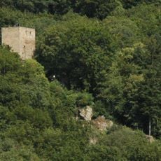
Burg Alt-Wolfstein
8.7 km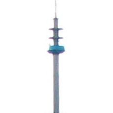
Fernmeldeturm Bornberg
8.7 km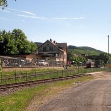
Lauterecken-Grumbach station
6.8 km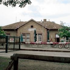
Altenglan station
10.1 km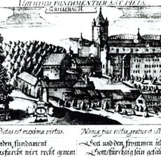
Burg Grumbach
4.7 km
Königsberg
8.7 km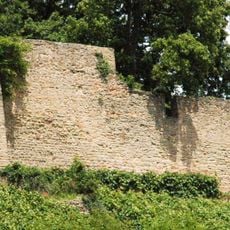
Burg Neuwolfstein
9.2 km
Schneeweiderhof
8.6 km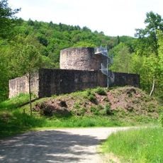
Sprengelburg
8.6 km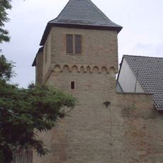
Schloss Lauterecken
6.7 km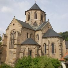
Protestantische Kirche (Offenbach am Glan)
3.7 km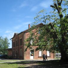
Wolfstein station
9.7 km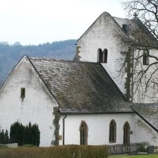
Hirsau Church
3.5 km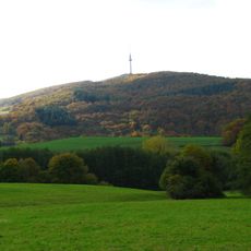
Bornberg
8.7 km
Selberg
10.6 km
Alter Bahnhof
6.8 km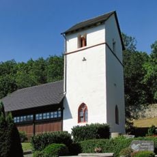
Wolfskirche
10.4 km
Bahnhof Ulmet
6.5 km
Bahnhof Eschenau (Pfalz)
4.2 km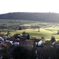
Herrmannsberg
7 km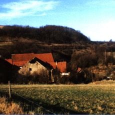
Naumburg
10.4 km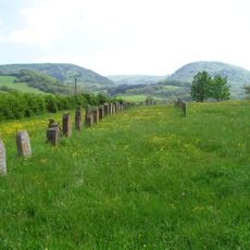
Jüdischer Friedhof
5.9 km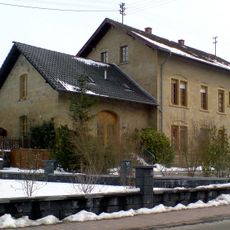
Niedereisenbach-Hachenbach railway station
3.1 km
Mittagsfels
3.7 km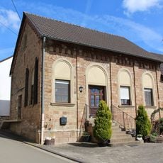
Synagoge
10.9 km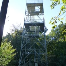
Selberg Tower
10.6 km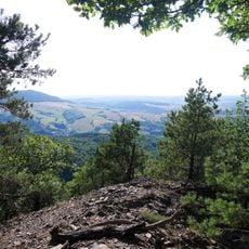
Koenigsland
8.8 km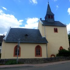
Protestant Church Niedereisenbach
3.1 kmReviews
Visited this place? Tap the stars to rate it and share your experience / photos with the community! Try now! You can cancel it anytime.
Discover hidden gems everywhere you go!
From secret cafés to breathtaking viewpoints, skip the crowded tourist spots and find places that match your style. Our app makes it easy with voice search, smart filtering, route optimization, and insider tips from travelers worldwide. Download now for the complete mobile experience.

A unique approach to discovering new places❞
— Le Figaro
All the places worth exploring❞
— France Info
A tailor-made excursion in just a few clicks❞
— 20 Minutes