Enable Location

We need your location to show you interesting places around you

Discover nearby places

Find interesting locations and hidden gems around you

Precise directions

Get accurate directions and distances to places

Your location is never shared with other users. It's only used when you tap the location button.

Lettstädter Höhe

Log in to your account

Start exploring — it's free

Trusted by 62,824 travelers worldwide

Continue with Google
Continue with Apple
or

We will send you a code to connect

By continuing, you accept our Terms and Conditions and our Privacy Policy

Check your inbox

We've sent a pincode in your inbox. Please enter the code below.

Lettstädter Höhe

Lettstädter Höhe, Mountain summit in Black Forest, Germany.

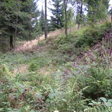
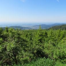
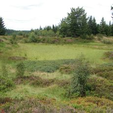
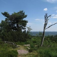
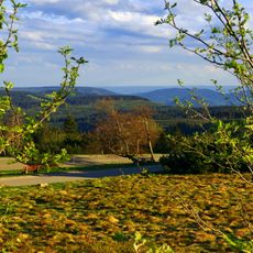
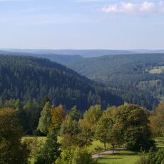
Lettstädter Höhe is a mountain summit in the Black Forest region located southwest of Kniebis, surrounded by dense coniferous woodland. The peak sits within a landscape of rolling forested slopes that characterize this part of Baden-Württemberg.

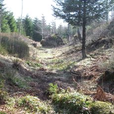
The summit became part of the Westweg hiking system that has connected Pforzheim to Basel since the 19th century. This established long-distance route made the peak a recognized waypoint for travelers crossing the region.

Local residents maintain traditional hiking practices in the Black Forest region, organizing regular group expeditions to the Lettstädter Höhe summit.

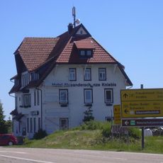
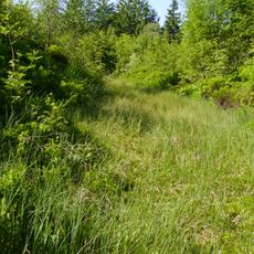
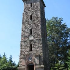
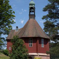
The summit is accessible via marked hiking trails from several starting points in the surrounding area, including routes near Alexanderschanze. A small shelter nearby offers rest facilities for hikers who need a break during their walk.

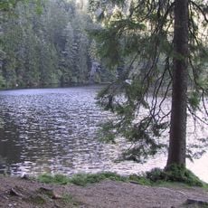
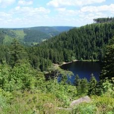
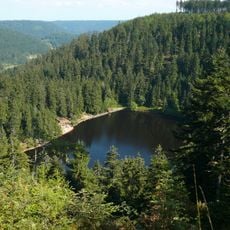
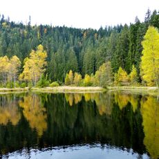
The peak sits near the edge of the Glaswaldsee area and marks an important point on the European long-distance path E1. This trail spans thousands of kilometers across multiple countries and makes this location a junction point for international hikers.

The community of curious travelers

AroundUs brings together thousands of curated places, local tips, and hidden gems, enriched daily by 60,000 contributors worldwide.

Start exploring
Elevation above the sea
966 m
GPS coordinates
48.43412,8.25784
Latest update
December 14, 2025 17:44
« Lettstädter Höhe - Mountain summit in Black Forest, Germany » is provided by Around Us (aroundus.com). Images and texts are derived from Wikimedia project under a Creative Commons license. You are allowed to copy, distribute, and modify copies of this page, under the conditions set by the license, as long as this note is clearly visible.

Discover hidden gems everywhere you go!

From secret cafés to breathtaking viewpoints, skip the crowded tourist spots and find places that match your style. Our app makes it easy with voice search, smart filtering, route optimization, and insider tips from travelers worldwide. Download now for the complete mobile experience.

Around Us App Screenshot

A unique approach to discovering new places

Le Figaro

All the places worth exploring

France Info

A tailor-made excursion in just a few clicks

20 Minutes

Around Us
Travel Guide & Maps
Download

Send to your phone

QR Code
1

Open the camera app on your mobile.

2

Point at the QR code with your camera. A notification will appear.

3

Tap the notification to open the link.