Luttrum, human settlement in Germany
Location: Holle
Elevation above the sea: 110 m
GPS coordinates: 52.12780,10.18330
Latest update: March 24, 2025 15:04
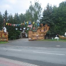
Familienpark Sottrum
7.1 km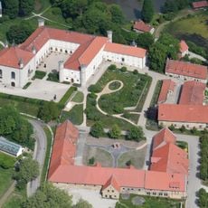
Derneburg Castle
5 km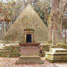
Mausoleum Derneburg
5.4 km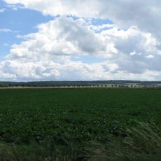
Vorholz
2.9 km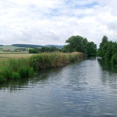
Mittleres Innerstetal mit Kanstein
5.2 km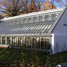
Glashaus
5.1 km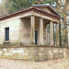
Teetempel
5.4 km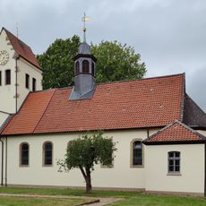
Unbefleckte Empfängnis Mariä
2.7 km
Maria vom heiligen Rosenkranz
4.4 km
Annenkapelle
139 m
St. Andreas
6.1 km
Wassermühle Derneburg
4.9 km
St. Abertus Magnus
5.6 km
St. Maria Rosenkranz
3 km
Martin-Luther-Kirche
6.1 km
St. Paulus
5.9 km
Schlosskirche St. Annen
4.9 km
Kirche Groß Himstedt
6.8 km
Kirche Klein Himstedt
6.2 km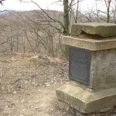
Gauß stone
7 km
St. Martin
7.1 km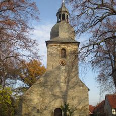
St. Lambertus
3 km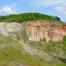
Steinbruch Baddeckenstedt
5.2 km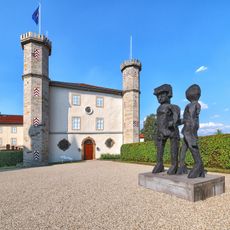
Schloss Derneburg
5 km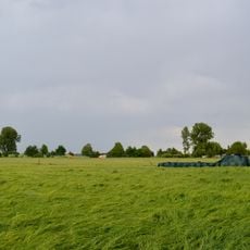
Asselgrabenniederung
2.3 km
Freibad Nettlingen
5.4 km
Ehemalige Kiesgrube Klaus
3.3 km
Vorholzer Bergland (Landkreis Hildesheim)
5 kmVisited this place? Tap the stars to rate it and share your experience / photos with the community! Try now! You can cancel it anytime.
Discover hidden gems everywhere you go!
From secret cafés to breathtaking viewpoints, skip the crowded tourist spots and find places that match your style. Our app makes it easy with voice search, smart filtering, route optimization, and insider tips from travelers worldwide. Download now for the complete mobile experience.

A unique approach to discovering new places❞
— Le Figaro
All the places worth exploring❞
— France Info
A tailor-made excursion in just a few clicks❞
— 20 Minutes