Mittleres Innerstetal mit Kanstein

Log in to your account

AroundUs is a community-driven map of interesting places, built by curious explorers like you. It grows with every review, story, and photo you share.
Connect to save your favorite spots, contribute locations, and create personalized routes.
Continue with Google
Continue with Apple
Continue with X
Continue with Facebook
Continue with email
By continuing, you accept our Terms and Conditions and our Privacy Policy
Create an account

Mittleres Innerstetal mit Kanstein

Add to collection
Map
Suggest a change
Share

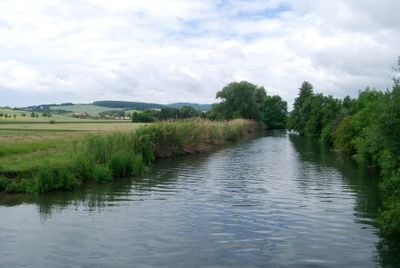
Mittleres Innerstetal mit Kanstein, Nature reserve in Lower Saxony, Germany.

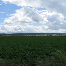
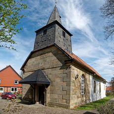
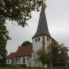
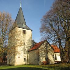
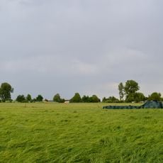
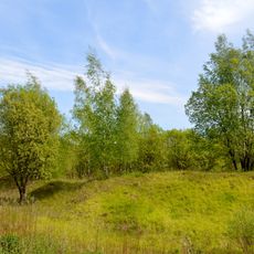
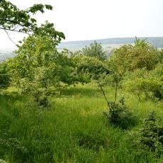
Mittleres Innerstetal mit Kanstein is a protected area along the Innerste River featuring rocky slopes, gravel bars, and flowing water across multiple towns in Lower Saxony. The site includes moorland, flood plains, and steep riverbanks that together create a varied landscape of different habitats.

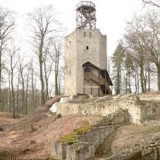
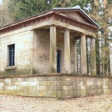
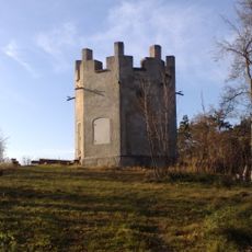
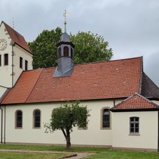
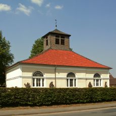
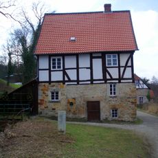
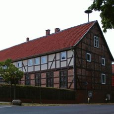
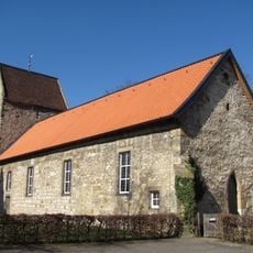
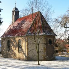
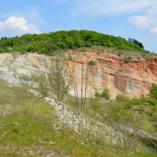
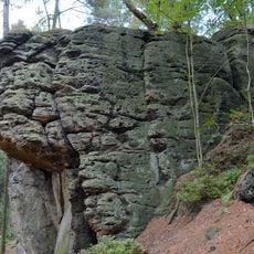
The area received protection in 2008, safeguarding medieval mining sites and historic water mills that document the industrial past of the valley. These remains show how people have used and shaped the river valley's resources over many centuries.

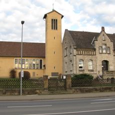
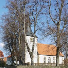
The former Cistercian monastery ponds and the French Bridge shape how the valley looks and reveal layers of religious and craft traditions in the landscape. Walking through these areas, visitors encounter the blend of human history and natural surroundings in everyday form.

Access is through marked trails where dogs must be leashed and staying on designated paths is required. These rules protect wildlife and allow visitors to walk safely while keeping disturbance to a minimum.

The area contains rare grasslands with high metal content in the soil, created by historical mining activities and supporting plant species found nowhere else. These specialized habitats are uncommon in Europe.

Location: Langelsheim

Location: Goslar

Location: Wallmoden

Location: Liebenburg

Location: Salzgitter

Location: Haverlah

Location: Sehlde

Location: Heere

Location: Baddeckenstedt

Location: Holle

Location: Bad Salzdetfurth

Inception: 2008

GPS coordinates: 52.08690,10.21970

Latest update: December 14, 2025 14:40

Photos
Reviews

Visited this place? Tap the stars to rate it and share your experience / photos with the community! Try now! You can cancel it anytime.

« Mittleres Innerstetal mit Kanstein - Nature reserve in Lower Saxony, Germany » is provided by Around Us (aroundus.com). Images and texts are derived from Wikimedia project under a Creative Commons license. You are allowed to copy, distribute, and modify copies of this page, under the conditions set by the license, as long as this note is clearly visible.

Discover hidden gems everywhere you go!

From secret cafés to breathtaking viewpoints, skip the crowded tourist spots and find places that match your style. Our app makes it easy with voice search, smart filtering, route optimization, and insider tips from travelers worldwide. Download now for the complete mobile experience.

Around Us App Screenshot

A unique approach to discovering new places

Le Figaro

All the places worth exploring

France Info

A tailor-made excursion in just a few clicks

20 Minutes