
Mittleres Negertal, nature reserve in Winterberg, North Rhine-Westphalia, Germany
Location: Winterberg
Inception: 2006
GPS coordinates: 51.26491,8.47187
Latest update: March 2, 2025 20:15

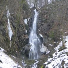
Plästerlegge
4.6 km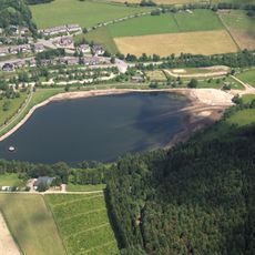
Hillestausee
4.7 km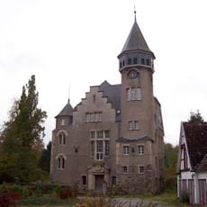
Schloss Wildenberg
1.5 km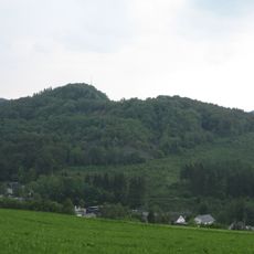
Meisterstein
2.6 km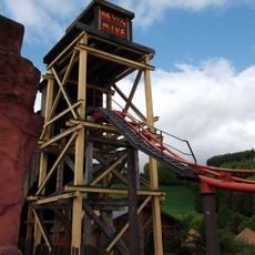
Devil’s Mine
5.4 km
St. Katharina
5 km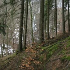
Plästerlegge–Auf'm Kipp
4.6 km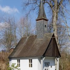
Küsterlandkapelle
4.8 km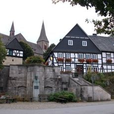
Grimme-Denkmal
5.1 km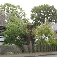
Naturdenkmal 1000-jährige Eiche
1.6 km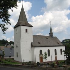
St. Servatius
1.5 km
Krähenstein
1.5 km
St. Antonius
3.6 km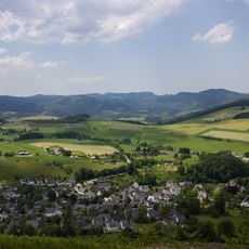
Landschaftsschutzgebiet Olsberg
3.2 km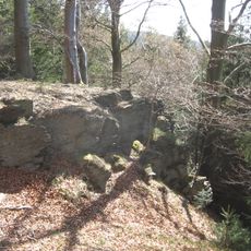
Naturdenkmal Mannstein
4.2 km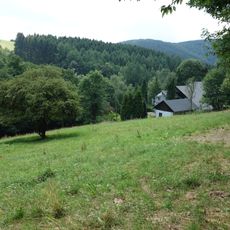
Kerbecker Siepen
1.6 km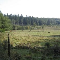
In der Strei
5.2 km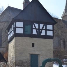
Reisen-Speicher
5 km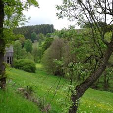
Oberes Elpetal
1.6 km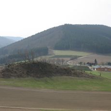
Naturdenkmal Käppelchen-Felsen
1.7 km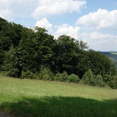
Steinmarkskopf-Hardenberg
2.6 km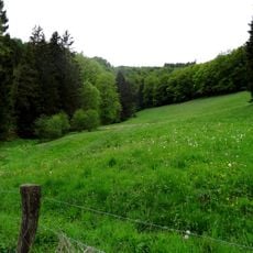
Reitmecke
4 km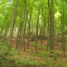
Naturdenkmal Felsgruppen Overlackersberg
4.3 km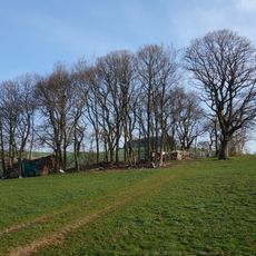
Geschützter Landschaftsbestandteil Feldgehölz (Bödefeld)
5.1 km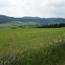
Bödefelder Mulde
4.9 km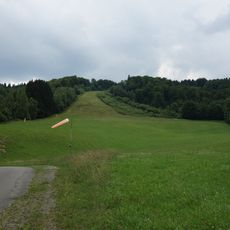
LSG Offenlandschaftskomplex Elpe
870 m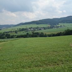
Landschaftsschutzgebiet Bödefelder Mulde
2.2 km
Iberg
2.5 kmReviews
Visited this place? Tap the stars to rate it and share your experience / photos with the community! Try now! You can cancel it anytime.
Discover hidden gems everywhere you go!
From secret cafés to breathtaking viewpoints, skip the crowded tourist spots and find places that match your style. Our app makes it easy with voice search, smart filtering, route optimization, and insider tips from travelers worldwide. Download now for the complete mobile experience.

A unique approach to discovering new places❞
— Le Figaro
All the places worth exploring❞
— France Info
A tailor-made excursion in just a few clicks❞
— 20 Minutes