Schmalkalden, Medieval town in Schmalkalden-Meiningen, Germany.
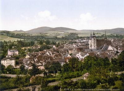
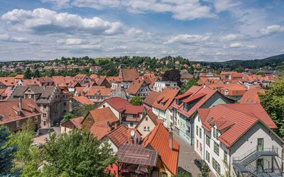
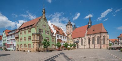
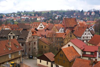
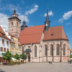
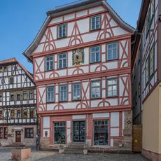
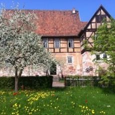
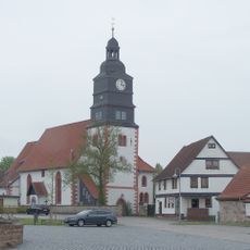
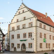
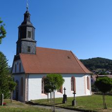
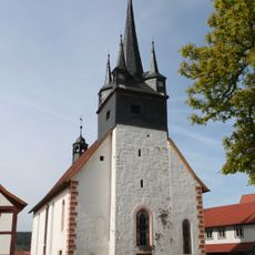
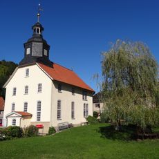
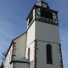
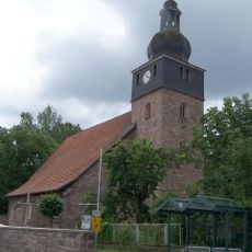
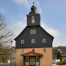
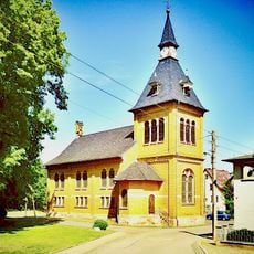
Schmalkalden is a town in the Schmalkalden-Meiningen district of Thuringia that sits in a valley basin at the edge of the Thuringian Forest. The old town consists of several parallel streets lined with closely packed half-timbered houses grouped around a central market square and surrounded by green hills.
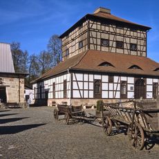
The town first appears in documents in 1247 as a settlement with market rights and developed into a center of metalworking thanks to local iron ore deposits. In the 16th century Protestant princes met here to found the Schmalkaldic League, an alliance against the policies of Emperor Charles V.
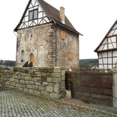
The name comes from the small stream that flows through the old town center and once powered mills used by tanners and blacksmiths. Today visitors walk past half-timbered houses with carved beams and slate roofs that line narrow lanes where craftspeople once worked in open workshops.
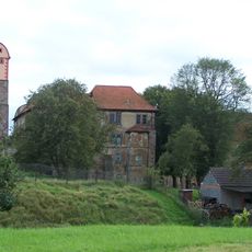
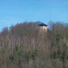
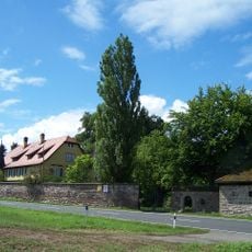
The train station sits at the edge of the old town and connects the town to Eisenach and Meiningen through regional trains, from where connections to other regions are available. Most historic buildings concentrate in the center and can be reached on foot within a few minutes, while the castle requires a steep climb.
In the cellars of many old town houses traces of former blacksmith workshops remain, where iron was processed directly over the stream channels. Some of the historic water channels run underground and reappear in surprising spots between buildings.
The community of curious travelers
AroundUs brings together thousands of curated places, local tips, and hidden gems, enriched daily by 60,000 contributors worldwide.