
Wirdum, municipality of Germany
Location: Brookmerland
Location: Aurich
Elevation above the sea: 0 m
Website: https://marienhafe.de/verzeichnis/visitenkarte.php?mandat=160960
GPS coordinates: 53.47750,7.20500
Latest update: March 21, 2025 09:57

St. Marienkirche
6.7 km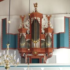
Pipe organ of Uttumer Kirche
4.4 km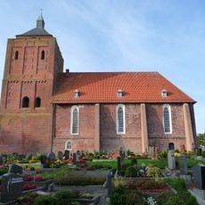
Warnfriedkirche
7.3 km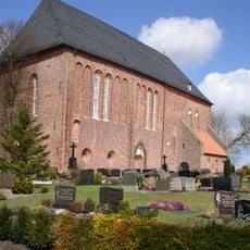
St. Johannes der Täufer
7.4 km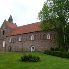
Eilsum Church
4.3 km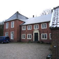
Ulferts Börg
7 km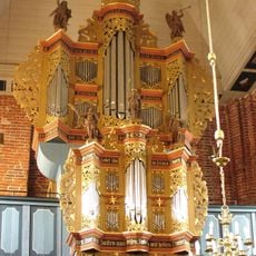
Orgel der Marienkirche
6.7 km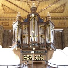
Organo della chiesa di San Warnfried ad Osteel
7.3 km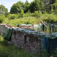
Beningaburg
1.9 km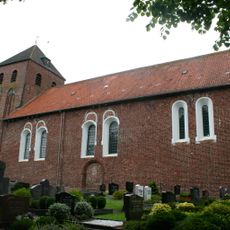
Uttumer Kirche
4.4 km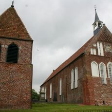
Grimersum Church
2.3 km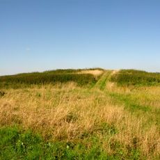
Beningaburg
637 m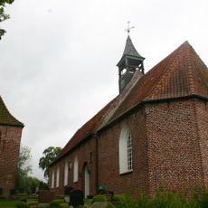
Jennelter Kirche (Krummhörn)
5.1 km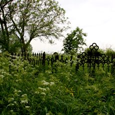
Prämonstratenserinnenstift Aland
2.4 km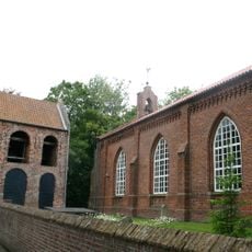
Loppersumer Kirche
6.1 km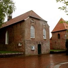
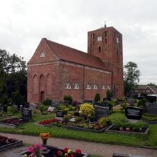
Wirdum Church
125 m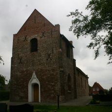
Siegelsumer Kirche
5.8 km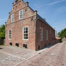
Rentmeisterhaus (Uttum)
4.2 km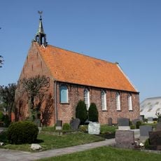
Cirkwehrumer Kirche
5 km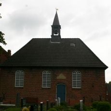
Canhuser Kirche
3.8 km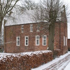
Pfarrhaus (Engerhafe)
7.4 km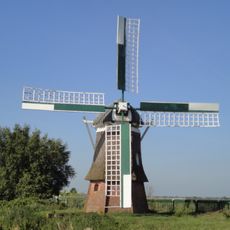
Wasserschöpfmühle Agnes
7.6 km
Burg Uttum
4.4 km
Baptistenkapelle Jennelt
4.9 km
Großes Meer und Umgebung (Landkreis Aurich)
7.4 km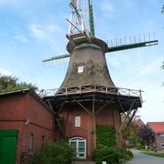
Tjücher Mühle
7.1 km
Krummhörn
4.8 km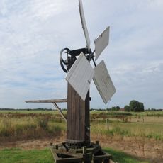
Wasserpumpmühle Wirdum
804 mVisited this place? Tap the stars to rate it and share your experience / photos with the community! Try now! You can cancel it anytime.
Discover hidden gems everywhere you go!
From secret cafés to breathtaking viewpoints, skip the crowded tourist spots and find places that match your style. Our app makes it easy with voice search, smart filtering, route optimization, and insider tips from travelers worldwide. Download now for the complete mobile experience.

A unique approach to discovering new places❞
— Le Figaro
All the places worth exploring❞
— France Info
A tailor-made excursion in just a few clicks❞
— 20 Minutes