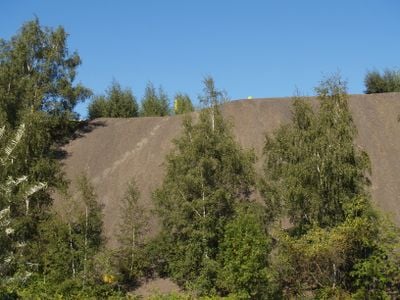
Halde Lothringen, Coal mining spoil tip summit in Bochum, Germany.
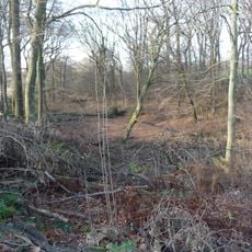
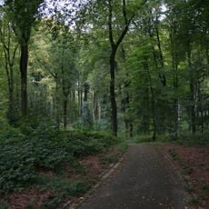
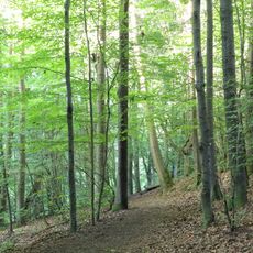
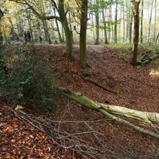
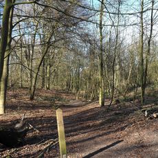
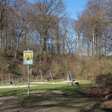
Halde Lothringen is an artificial hill rising roughly 150 meters above the surrounding area, formed from mining waste extracted from the colliery. Rehabilitated slopes are covered with vegetation and crossed by walking paths, with remnants of industrial machinery scattered across the terrain.
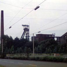
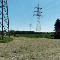
The site developed in the early 20th century as a spoil tip for the Lothringen I and II coal mines, which operated for more than a century extracting coal. After the mines closed in the 1990s, the heap was transformed into a public park with trails and facilities.
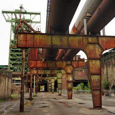
The site bears the name of the former colliery and displays art installations that reflect on industrial heritage. Visitors can read information boards explaining how the Ruhr region transformed from a mining landscape into a recreational area.
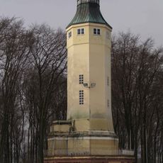
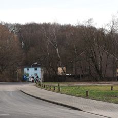
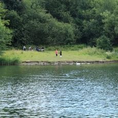
The site is accessible from several entry points with clearly marked walking paths of varying difficulty. An observation platform at the top provides vantage points, and parking areas and bus stops are located near the main entrance.
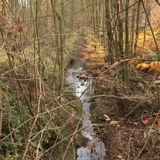
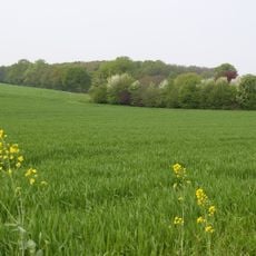
A notable feature is how the spoil has been naturally revegetated: native wildflower areas and rare plant species have established themselves on the slopes. This unexpected biodiversity demonstrates how quickly nature can reclaim abandoned industrial sites.
The community of curious travelers
AroundUs brings together thousands of curated places, local tips, and hidden gems, enriched daily by 60,000 contributors worldwide.