
Ouled Aissa, town and commune in Timimoun Province, Algeria
Location: Charouine District
Elevation above the sea: 356 m
Shares border with: Timoudi
GPS coordinates: 29.41840,-0.08760
Latest update: May 6, 2025 12:23
M'zab
496.1 km
Sijilmasa
452.9 km
Gara Medouar
464.2 km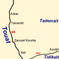
Tuat
232.5 km
Beni Isguen
496.2 km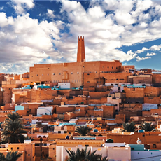
Ksar Melika
496.1 km
Djebel Aissa National Park
386.4 km
Site of Aït Ouaazik
522.9 km
Djebel Issa
390.6 km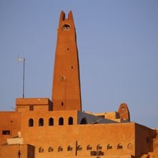
Gran Mezquita de Gardaya
494.1 km
Chapelle de Charles de Foucauld
215.7 km
Ait Zeggane
506.5 km
Mausolée de Sidi Boudkhil
373.3 km
Museo Casa de Carranza
270.7 km
Mosquée du Vieux Ksar
216.3 km
Tahiri museum of fossils
457.3 km
Casa Maria Felix
267 km
Museo De La Memoria Viva
321 km
Museo Julio Galán
172.9 km
Zoo des reptiles d'El Atteuf
495 km
Saharan Morocco
500.6 km
Arfoud
457 km
Ksar Bounoura
497.3 km
Ksar El Atteuf
499.6 km
Mosque Sidi Brahim
499.5 km
Church of Saint-Joseph, El Menia
314.9 km
Ksar Ghardaia
495.7 km
Ksar Abbar
450.3 kmReviews
Visited this place? Tap the stars to rate it and share your experience / photos with the community! Try now! You can cancel it anytime.
Discover hidden gems everywhere you go!
From secret cafés to breathtaking viewpoints, skip the crowded tourist spots and find places that match your style. Our app makes it easy with voice search, smart filtering, route optimization, and insider tips from travelers worldwide. Download now for the complete mobile experience.

A unique approach to discovering new places❞
— Le Figaro
All the places worth exploring❞
— France Info
A tailor-made excursion in just a few clicks❞
— 20 Minutes