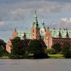
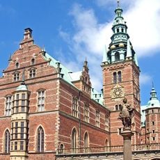
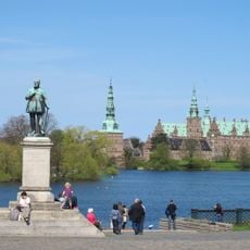
Par force hunting landscape in North Zealand, Royal hunting landscape in North Zealand, Denmark
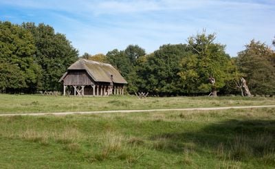
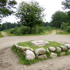
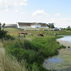
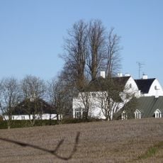
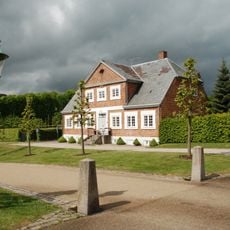
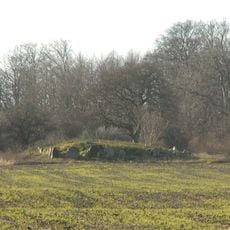
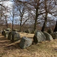
This hunting landscape in North Zealand comprises three main forests - Store Dyrehave, Gribskov, and Jægersborg Dyrehave - connected by a geometric grid of numbered roads. Stone posts mark intersections and turning points throughout this planned network.
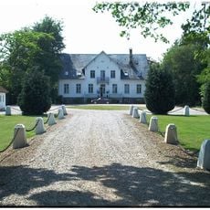
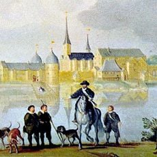
King Christian V designed this landscape around 1670 after learning French hunting methods, bringing English hounds and huntsmen to Denmark to establish these royal grounds. This royal project transformed the forested areas of North Zealand into a structured hunting landscape.
The geometric road network across the forests represents royal power made visible through carefully planned hunting paths and gathering places. Visitors today can still sense this ordered vision in how the routes cut through the landscape.
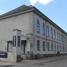
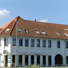
Visitors can explore the extensive network of trails connecting the three forests, with most routes remaining relatively flat and easy to navigate. Interpretive signs at key points explain the hunting traditions and help visitors orient themselves through the grid system.
The road system follows an orthogonal grid pattern that was more advanced than the star-shaped layouts used in French and German hunting grounds. This mathematical design allowed better control and coordination during royal hunting events.
The community of curious travelers
AroundUs brings together thousands of curated places, local tips, and hidden gems, enriched daily by 60,000 contributors worldwide.