
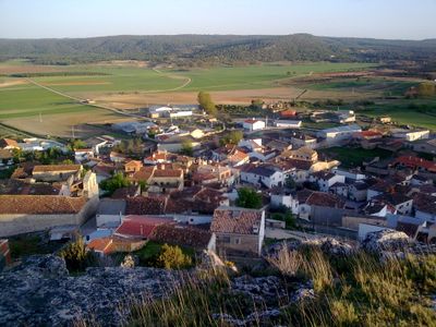
Reíllo, municipality of Spain
Location: Cuenca Province
Capital city: Reíllo
Elevation above the sea: 1,022 m
Part of: Mancomunidad de Pastos de Sierra de Cuenca, Mancomunitat «Vega del Guadazaón»
Shares border with: Arguisuelas, Monteagudo de las Salinas, Fuentes, Cañada del Hoyo, Carboneras de Guadazaón
GPS coordinates: 39.90520,-1.87223
Latest update: August 9, 2025 00:38
San Pablo Bridge
29.1 km
Valeria
26 km
Las Hoyas
20.7 km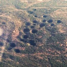
Palancares y Tierra Muerta
15.1 km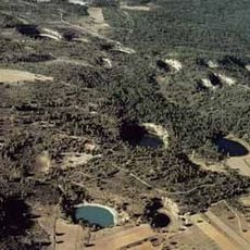
Lagunas de Cañada del Hoyo
9 km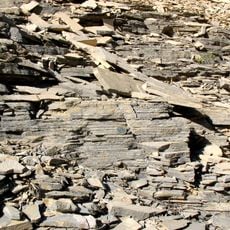
La Huérguina Formation
20.7 km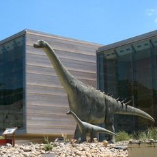
Castilla-La Mancha Paleontological Museum
28.6 km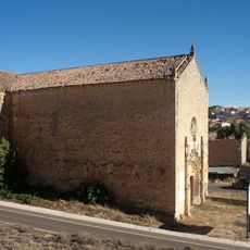
Iglesia Panteón de los Marqueses de Moya
5.2 km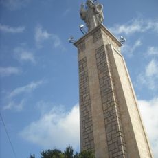
Monumento al Sagrado Corazón de Jesús
28.6 km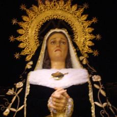
Holy Week in Cuenca
29.1 km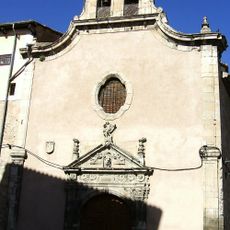
Convent of the Concepción Franciscana, Cuenca
29 km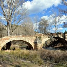
Puente de Cristinas
13 km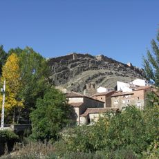
Recinto amurallado de Cañete
24.3 km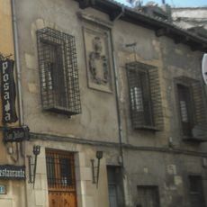
Casa de las Rejas
29 km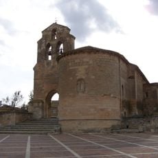
Church of the Nativity of the Virgin Mary, Arcas
22.7 km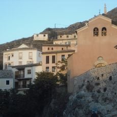
Church of Cristo del Amparo, Cuenca
29 km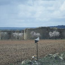
Castle of Cardenete
22.2 km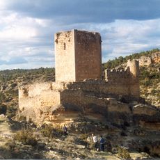
Castle of Paracuellos de la Vega
21.6 km
Peña del Escrito
18 km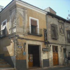
Posada de San Julián
29 km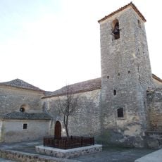
Church of Nuestra Señora de la Asunción
31.7 km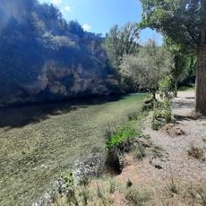
Área recreativa La Playeta de Villora
25.8 km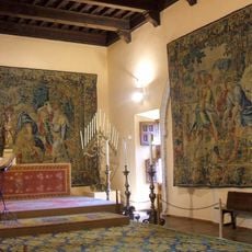
Museo Diocesano de Cuenca
29.1 km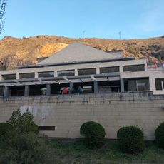
Teatro Auditorio (Conca)
29 km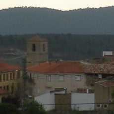
Iglesia de la Asunción
22 km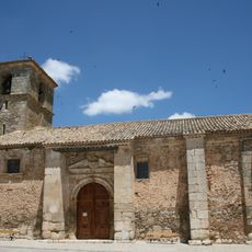
Iglesia de Nuestra Señora de la Sey
25.6 km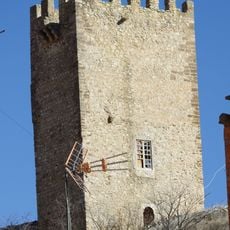
Castle of Víllora
29.7 km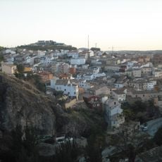
Barrio de Tiradores
28.9 kmReviews
Visited this place? Tap the stars to rate it and share your experience / photos with the community! Try now! You can cancel it anytime.
Discover hidden gems everywhere you go!
From secret cafés to breathtaking viewpoints, skip the crowded tourist spots and find places that match your style. Our app makes it easy with voice search, smart filtering, route optimization, and insider tips from travelers worldwide. Download now for the complete mobile experience.

A unique approach to discovering new places❞
— Le Figaro
All the places worth exploring❞
— France Info
A tailor-made excursion in just a few clicks❞
— 20 Minutes