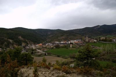
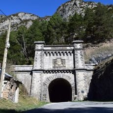
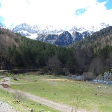
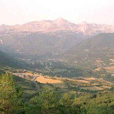
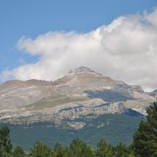
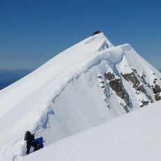
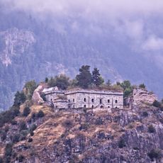
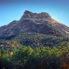
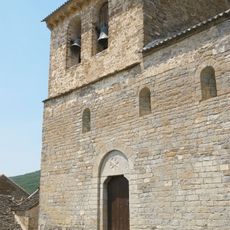
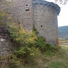
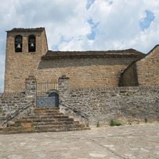
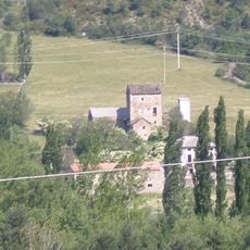
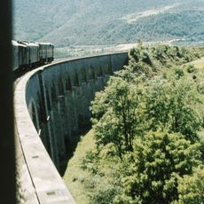
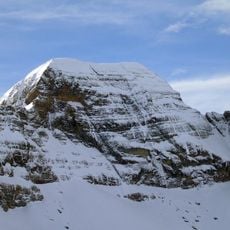
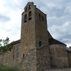
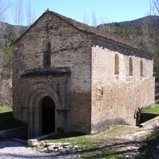
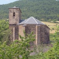
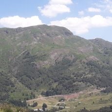
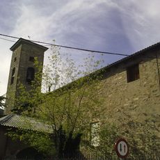
Aísa, municipality of Aragon, Spain
Location: Huesca Province
Capital city: Aísa
Elevation above the sea: 1,043 m
Website: http://www.aytoaisa.com
Part of: Mancomunitat de Serveis dels Municipis del Alto Valle del Aragón
Shares border with: Jasa, Aragüés del Puerto, Ansó, Jaca, Canfranc, Borau, Villanúa, Valle de Echo, Urdos
Website: http://aytoaisa.com
GPS coordinates: 42.68278,-0.61694
Latest update: April 4, 2025 03:27
Somport Rail Tunnel
13.7 km
Abbey of San Pedro de Siresa
13.9 km
Selva de Oza
12.3 km
Ermita de Santa María de Iguacel
12.5 km
Valle del Aragón
7.8 km
Collarada
12.5 km
Bisaurin
11.9 km
Fuerte de Coll de Ladrones
12.6 km
Castillo de Acher
16.1 km
Hospital de Somport
12.9 km
Iglesia de Nuestra Señora del Pilar
8.4 km
San Adrián (Guasillo)
11.5 km
Catarecha
7.6 km
La Torreta, Canfranc
9.6 km
Iglesia de la Asunción de Nuestra Señora
8.4 km
Bridge of the Pilgrims
8.2 km
Astún-Candanchú
13.8 km
San Pedro Apóstol (Caniás)
9.4 km
Iglesia de San Vicente
6 km
San Juan Bautista (Aratorés)
5 km
Torre de Aruej
6 km
Puente de Cenarbe
6.8 km
Pala de Ip
14.7 km
Iglesia de San Miguel Arcángel
7.9 km
Church of San Adrián de Sasabe
2.3 km
Santa Eulalia
3.6 km
Pic d'Arnousse
16.9 km
Iglesia de San Esteban Protomártir
7.1 kmReviews
Visited this place? Tap the stars to rate it and share your experience / photos with the community! Try now! You can cancel it anytime.
Discover hidden gems everywhere you go!
From secret cafés to breathtaking viewpoints, skip the crowded tourist spots and find places that match your style. Our app makes it easy with voice search, smart filtering, route optimization, and insider tips from travelers worldwide. Download now for the complete mobile experience.
A unique approach to discovering new places❞
— Le Figaro
All the places worth exploring❞
— France Info
A tailor-made excursion in just a few clicks❞
— 20 Minutes