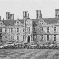
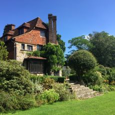
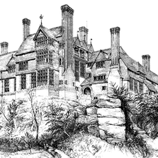
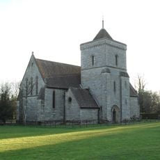
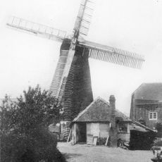
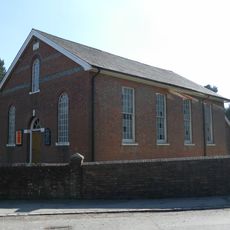
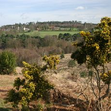
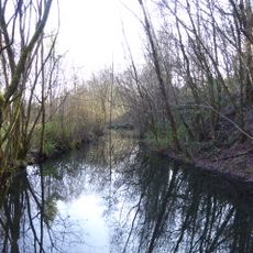
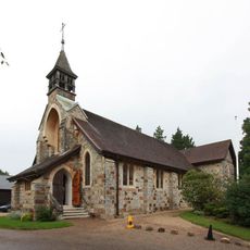
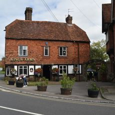
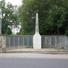
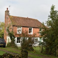
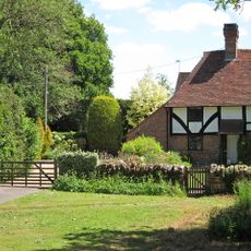
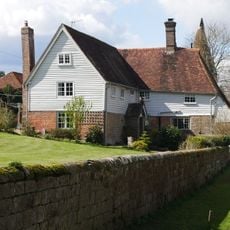
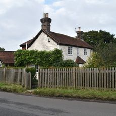
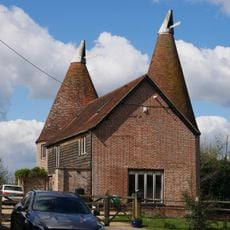
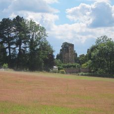
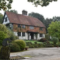
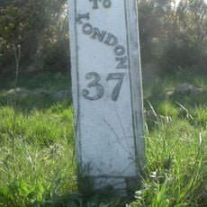
Crowborough, town in the Wealden district of East Sussex, England
Location: Wealden
Elevation above the sea: 242 m
Shares border with: Groombridge
Website: http://crowboroughtowncouncil.gov.uk/default.aspx
GPS coordinates: 51.06000,0.16000
Latest update: March 2, 2025 22:55
Buckhurst Park
4.1 km
Luxford House
2 km
Leyswood
4.1 km
Bowles Rocks
3.3 km
St John the Evangelist Church, Heron's Ghyll
5.3 km
Pratt's Mill, Crowborough
367 m
Rehoboth Chapel, Jarvis Brook
2.5 km
Old Lodge
5.7 km
Crowborough Community Church
71 m
Crowborough Country Park
1.9 km
Hastingford Cutting
5.4 km
The Parish Church of St Denys
4.4 km
The Parish Church of All Saints
618 m
Holy Trinity Church
5.1 km
St John's Church
1.2 km
St Michael & All Angels
2.6 km
The King's Arms Public House
4.5 km
Crowborough Library
180 m
Crowborough War Memorial
658 m
Medieval moated site with adjacent late medieval Pondbay, Walsh Manor, Crowborough
2.8 km
Whitehouse Farmhouse
2.8 km
Forestland
4.4 km
Renby Farmhouse Eridge Station
4.2 km
Boxgate Farmhouse
900 m
The Oasthouse
4.2 km
Old Buckhurst, The Gateway To The North West Of The House
4.6 km
Friar's Gate Farmhouse
2.2 km
Milepost, Camp Hill; 330m N track to Crows Nest
4.4 kmVisited this place? Tap the stars to rate it and share your experience / photos with the community! Try now! You can cancel it anytime.
Discover hidden gems everywhere you go!
From secret cafés to breathtaking viewpoints, skip the crowded tourist spots and find places that match your style. Our app makes it easy with voice search, smart filtering, route optimization, and insider tips from travelers worldwide. Download now for the complete mobile experience.
A unique approach to discovering new places❞
— Le Figaro
All the places worth exploring❞
— France Info
A tailor-made excursion in just a few clicks❞
— 20 Minutes