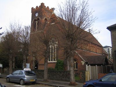
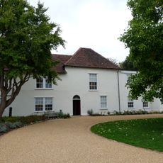
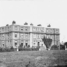
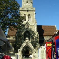
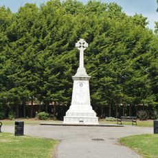
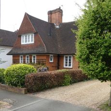
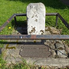
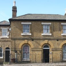
Chadwell Heath, suburban area of East London, England
Location: London Borough of Barking and Dagenham
Location: London Borough of Redbridge
GPS coordinates: 51.57570,0.14400
Latest update: April 12, 2025 23:45
Valence House Museum
2.1 km
Gidea Hall
3.7 km
Brookside Theatre
2.9 km
Parish Church of St Edward the Confessor
2.6 km
Parsloes Park
3.5 km
The Rom
3.8 km
Eastbrookend Country Park
3.8 km
Havering Museum
2.5 km
Havering Town Hall
2.8 km
Eastbrook
3.1 km
Dagenham Civic Centre
1.8 km
The Embassy Cinema
1.3 km
Hainault Lodge
3.6 km
St Chad's Church, Chadwell Heath
741 m
Church of All Saints
2.9 km
Church of St Peter
3.1 km
Church of St Andrew
2.2 km
Newbury Park Station Bus Shelter
3.7 km
Church of St Mary
2.2 km
Ilford War Memorial
3.9 km
The Golden Lion The Golden Lion Public House
2.5 km
The Lamb Public House
2.5 km
Romford War Memorial
2.9 km
The Marks Stones (On East Side Of Road North Of Eastern Avenue, Set In A Hedge)
989 m
27, Meadway
3.9 km
The Havering Stone (On North Side Of The Road At The Former Romford/Dagenham Borough Boundary)
394 m
621, Rainham Road South
3.9 km
Forest Bounds Stone
396 mReviews
Visited this place? Tap the stars to rate it and share your experience / photos with the community! Try now! You can cancel it anytime.
Discover hidden gems everywhere you go!
From secret cafés to breathtaking viewpoints, skip the crowded tourist spots and find places that match your style. Our app makes it easy with voice search, smart filtering, route optimization, and insider tips from travelers worldwide. Download now for the complete mobile experience.
A unique approach to discovering new places❞
— Le Figaro
All the places worth exploring❞
— France Info
A tailor-made excursion in just a few clicks❞
— 20 Minutes