
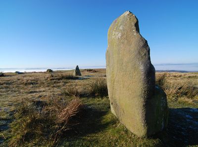
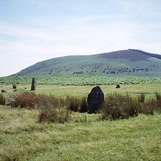
Mitchell's Fold, Bronze Age stone circle in Chirbury with Brompton, England
The stone circle measures 30 meters in diameter and contains 15 remaining dolerite stones extracted from the nearby Stapeley Hill.
The site dates back to the Bronze Age when communities constructed stone circles for gatherings and ceremonies across Britain.
Local narratives tell of a magical cow providing endless milk until a witch interfered, leading to her transformation into one of the stones.
The archaeological site sits at 305 meters altitude on Stapeley Common and connects to public footpaths through the Shropshire countryside.
In 1995, several stones were removed by farmers using mechanical equipment but were later returned to their original positions following legal action.
Location: Chirbury with Brompton
Part of: Mitchell's Fold stone circle, standing stone and cairn 280m south west of Mitchell's Fold
Website: https://english-heritage.org.uk/visit/places/mitchells-fold-stone-circle
GPS coordinates: 52.57870,-3.02610
Latest update: March 4, 2025 13:57
Stone circles are megalithic structures from prehistoric times. These monuments served as astronomical observation points and gathering places. The constructions demonstrate the technical abilities of early societies. The stones were placed and aligned with precision. Many of these circles connect to solstices and star constellations.
Corndon Hill
1.5 km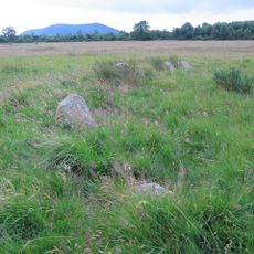
Hoarstones
2.4 km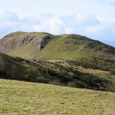
Roundton Hill
3.6 km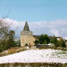
St Nicholas' Church, Church Stoke
5.6 km
The Lack
6.1 km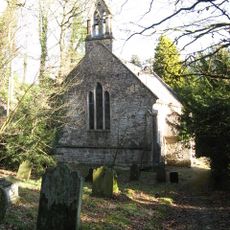
Church of Holy Trinity
4.7 km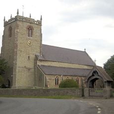
Church of St Michael
4.4 km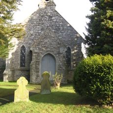
Church of Holy Trinity
1.3 km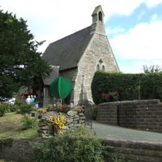
Church of St Mark
4.6 km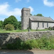
Church of All Saints
3.1 km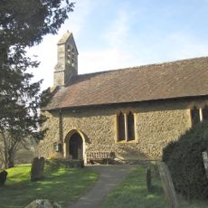
St Etheldreda
3.9 km
Gunley Hall
5.2 km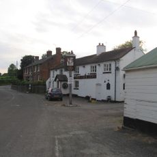
The Cock Inn
6.2 km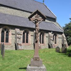
Chirbury War Memorial
4.4 km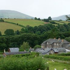
Brynafon
5.5 km
Milestone At Ngr So 3246 9695
2.3 km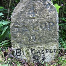
Milestone At Ngr Sj 3396 0102
4.3 km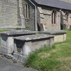
Group Of 10 Chest Tombs Approximately 3.5 To 10 Metres South Of Chancel Of Church Of St Michael
4.4 km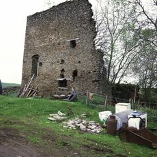
Remains Of Engine House Approximately 50 Metres North East Of Gritt Farmhouse
2.2 km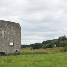
Remains Of Engine House At Ngr So 3193 9797
1.4 km
Milestone At Ngr So 3214 9845
1.6 km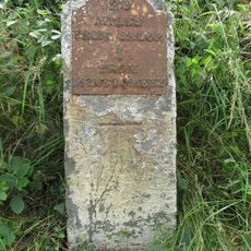
Milestone At Ngr So 2410 9777
6.5 km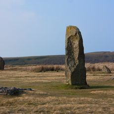
Mitchell's Fold stone circle, standing stone and cairn 280m south west of Mitchell's Fold
140 m
Stockton Wood
5.5 km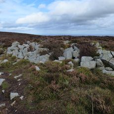
Tor cairn on Stiperstones, 130m SSE of Manstone Rock.
6.2 km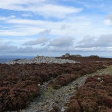
Round cairn on Stiperstones, 350m SSW of the Devil's Chair
6.2 km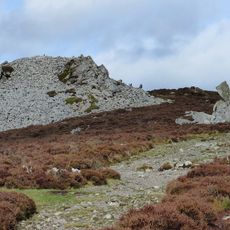
Round cairn on Stiperstones, 150m south of Manstone Rock.
6.2 km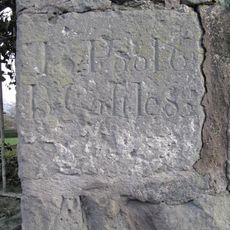
Milestone, St Michaels Church, Chirbury
4.5 kmReviews
Visited this place? Tap the stars to rate it and share your experience / photos with the community! Try now! You can cancel it anytime.
Discover hidden gems everywhere you go!
From secret cafés to breathtaking viewpoints, skip the crowded tourist spots and find places that match your style. Our app makes it easy with voice search, smart filtering, route optimization, and insider tips from travelers worldwide. Download now for the complete mobile experience.

A unique approach to discovering new places❞
— Le Figaro
All the places worth exploring❞
— France Info
A tailor-made excursion in just a few clicks❞
— 20 Minutes