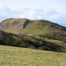
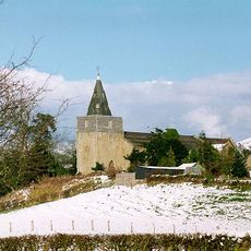
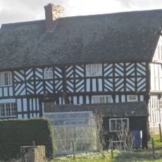
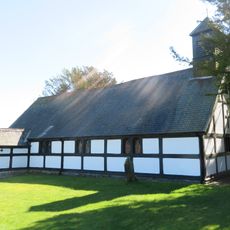
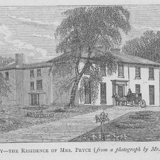
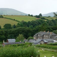
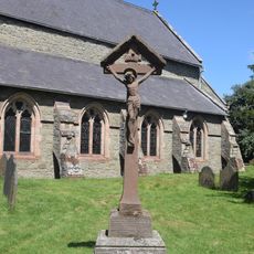
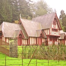
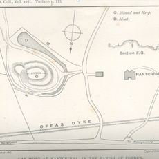
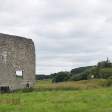
Chirbury with Brompton, civil parish in Shropshire, England
Location: Shropshire
Inception: April 1, 1987
GPS coordinates: 52.58200,-3.07700
Latest update: March 5, 2025 11:23
Mitchell's Fold
3.5 km
Corndon Hill
4 km
Hoarstones
5.4 km
Lymore, Montgomery
4.7 km
Roundton Hill
4.5 km
St Nicholas' Church, Church Stoke
4.8 km
The Lack
5 km
Church of All Saints
5.2 km
Church of St Michael
1 km
Church of Holy Trinity
2.7 km
Church of St Mark
4.2 km
St Etheldreda
6 km
Gunley Hall
2.5 km
Brynafon
4.8 km
Chirbury War Memorial
1 km
Poultry House
5.8 km
Milestone At Ngr So 3246 9695
5.6 km
Greenwood Lodge
5.1 km
Milestone at NGR SO 2463 9319
6.3 km
Motte and bailey castle and line of Offa's Dyke adjacent to Brompton Mill
6 km
Nantcribba Castle
4.3 km
Remains Of Engine House At Ngr So 3193 9797
4.9 km
Mellington Gatehouse
6.1 km
Milestone At Ngr So 2410 9777
3.2 km
Stockton Wood
3.6 km
Offa's Dyke: section 2/3 mile (1170m) long, N from southern boundary of Rownal Covert
3.8 km
Mitchell's Fold stone circle, standing stone and cairn 280m south west of Mitchell's Fold
3.3 km
Milestone At Ngr So 3214 9845
5 kmVisited this place? Tap the stars to rate it and share your experience / photos with the community! Try now! You can cancel it anytime.
Discover hidden gems everywhere you go!
From secret cafés to breathtaking viewpoints, skip the crowded tourist spots and find places that match your style. Our app makes it easy with voice search, smart filtering, route optimization, and insider tips from travelers worldwide. Download now for the complete mobile experience.
A unique approach to discovering new places❞
— Le Figaro
All the places worth exploring❞
— France Info
A tailor-made excursion in just a few clicks❞
— 20 Minutes