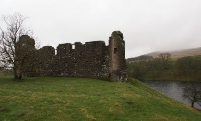
Morton Castle, Medieval castle in Dumfries and Galloway, Scotland.
Morton Castle is a ruined medieval castle on a triangular promontory in Dumfries and Galloway, Scotland, with steep slopes falling to a loch on three sides. The surviving main block follows a D-shaped plan and rises to four stories, with the former great hall and lord's chambers still partly standing.
The site began as a lordship in the 12th century before passing to Thomas Randolph in 1307 as a grant from Robert Bruce. The Douglases acquired it later in the 15th century and built the main block that still stands today.
Morton Castle displays a rare Scottish hall-house design where two gatehouses once flanked the main entrance. This layout, also seen at Caerlaverock, is still readable in the surviving stonework today.
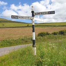
Reaching the castle means driving along narrow country roads from the A702 at Carronbridge, with little signage along the way, so a map or GPS is helpful. The site is unfenced and generally open, but the ground around the ruins is uneven and can be slippery in wet weather.
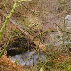
The loch that wraps around the promontory today was not part of the original medieval design but was created in the 18th century by building a dam downstream. Before that, the site relied entirely on its natural steep slopes for defence.
The community of curious travelers
AroundUs brings together thousands of curated places, local tips, and hidden gems, enriched daily by 60,000 contributors worldwide.