
Wilmington, village and civil parish in Kent, UK
Location: Dartford
Website: http://wilmingtonpc.kentparishes.gov.uk
GPS coordinates: 51.43090,0.18760
Latest update: March 13, 2025 00:41
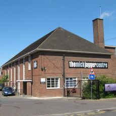
The Mick Jagger Centre
2 km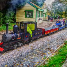
Swanley New Barn Railway
3 km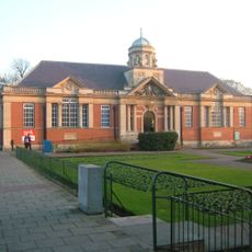
Dartford Library
2.6 km
Braeburn Park
1.9 km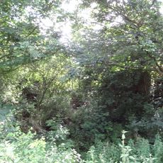
Wansunt Pit
1.4 km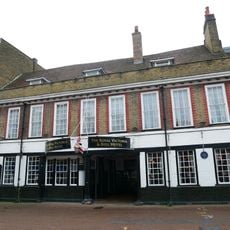
The Royal Victoria And Bull Inn
2.5 km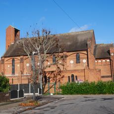
Christ Church
1.9 km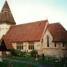
Church of Saint Paul
2.8 km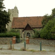
Church of St John the Baptist
3.7 km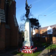
Swanley War Memorial
3.9 km
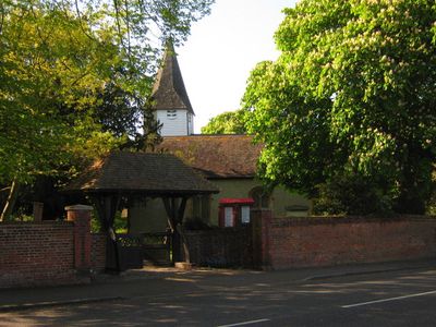
Church of St Michael
1.7 km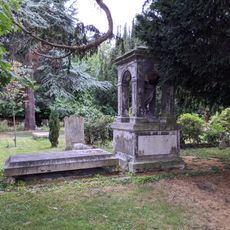
Hulse Memorial In Churchyard To South West Of Church Of St Michael
1.7 km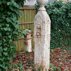
Coal Duty Boundary Marker (In The Fence To The Back Of The Garden Of Number 57 Baldwyn's Park) And Adjacent Iron Bollard
1.5 km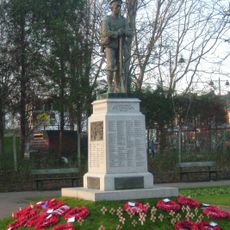
Dartford War Memorial
2.5 km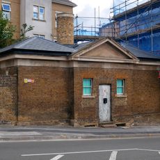
Former West Hill Police Station
2.3 km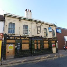
The Two Brewers Public House
2.4 km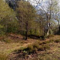
Faesten Dic, a medieval frontier work in Joydens Wood
2.1 km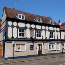
The Royal Oak Public House
2.4 km
Coal Duty Boundary Marker (On The South Side Of Number 1)
1.5 km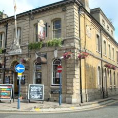
Kent House The County Court
2.4 km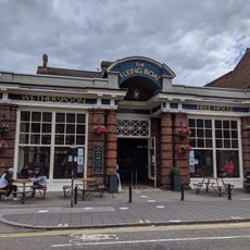
Beadles
2.4 km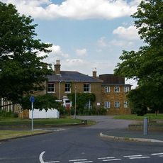
The Mount
1.5 km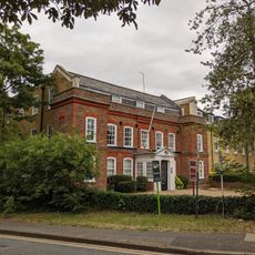
Wilmington House
1.8 km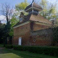
Dovecote at Hawley Manor
2.7 km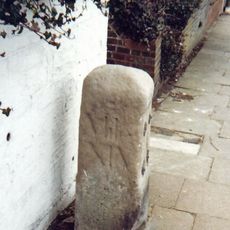
Milestone Opposite Nos 179 And 179A
2 km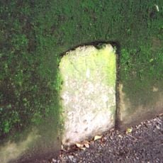
Milestone, Old Bexley Lane, 40m E of Kent Boundary post
1.5 km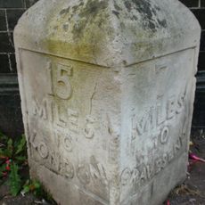
Milestone, High Street, by No.1 , The Royal Victoria and Bull Hotel
2.5 km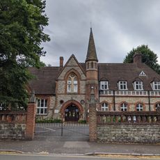
Dartford Grammar School
2.1 kmVisited this place? Tap the stars to rate it and share your experience / photos with the community! Try now! You can cancel it anytime.
Discover hidden gems everywhere you go!
From secret cafés to breathtaking viewpoints, skip the crowded tourist spots and find places that match your style. Our app makes it easy with voice search, smart filtering, route optimization, and insider tips from travelers worldwide. Download now for the complete mobile experience.

A unique approach to discovering new places❞
— Le Figaro
All the places worth exploring❞
— France Info
A tailor-made excursion in just a few clicks❞
— 20 Minutes