Enable Location

We need your location to show you interesting places around you

Discover nearby places

Find interesting locations and hidden gems around you

Precise directions

Get accurate directions and distances to places

Your location is never shared with other users. It's only used when you tap the location button.

Dartford

Log in to your account

Start exploring — it's free

Trusted by 61,458 travelers worldwide

Continue with Google
Continue with Apple
or

We will send you a code to connect

By continuing, you accept our Terms and Conditions and our Privacy Policy

Check your inbox

We've sent a pincode in your inbox. Please enter the code below.

Dartford, Local government district in Kent, England

Description

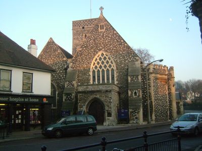
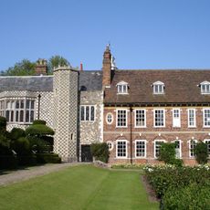
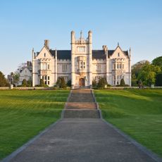
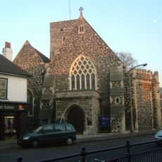
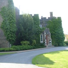
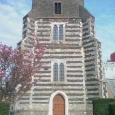
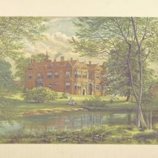
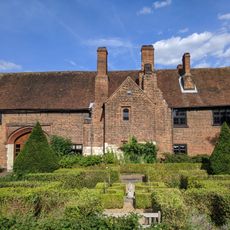
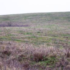
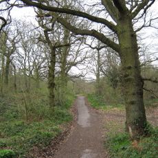
Dartford is a local government district in Kent that stretches along the south bank of the River Thames, mixing residential neighborhoods, business areas, and countryside. The territory reaches toward the North Downs hills and contains diverse landscapes, from urban centers to open green spaces.

History

The area was first organized as an improvement commission in 1814, then became a local board district in 1850, and finally gained official borough status in 1977. This progression shows how it developed from basic administration into a modern local authority.

Culture

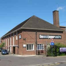
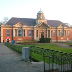
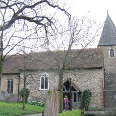
The district hosts active community centers and libraries where residents gather for art exhibitions and local celebrations throughout the year. These spaces reflect how people here connect with their Kent heritage and maintain regional traditions.

Practical

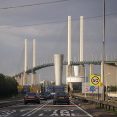
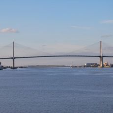
Seven railway stations across the district, including Dartford and Ebbsfleet International, provide easy connections to London and other Kent destinations. Visitors can use these stations to explore the area and move smoothly throughout the wider region.

Did you know?

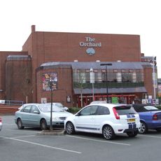
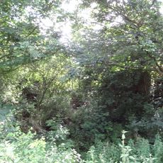
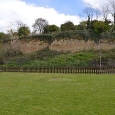
The district is home to Bluewater, one of England's largest shopping centers, standing out as a major retail destination. Yet it also preserves natural spaces and chalk quarries that tell the story of its industrial past.

Location
Capital city
Dartford
GPS coordinates
51.45000,0.26667
Latest update
December 7, 2025 19:29

AroundUs brings together thousands of curated places, local tips, and hidden gems, enriched daily by 60,000 contributors worldwide. Discover all places nearby (Kent).

« Dartford - Local government district in Kent, England » is provided by Around Us (aroundus.com). Images and texts are derived from Wikimedia project under a Creative Commons license. You are allowed to copy, distribute, and modify copies of this page, under the conditions set by the license, as long as this note is clearly visible.

Discover hidden gems everywhere you go!

From secret cafés to breathtaking viewpoints, skip the crowded tourist spots and find places that match your style. Our app makes it easy with voice search, smart filtering, route optimization, and insider tips from travelers worldwide. Download now for the complete mobile experience.

Around Us App Screenshot

A unique approach to discovering new places

Le Figaro

All the places worth exploring

France Info

A tailor-made excursion in just a few clicks

20 Minutes

Around Us
Travel Guide & Maps
Download

Send to your phone

QR Code
1

Open the camera app on your mobile.

2

Point at the QR code with your camera. A notification will appear.

3

Tap the notification to open the link.