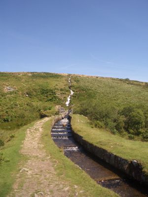
Devonport Leat, Water channel in Dartmoor National Park, England.
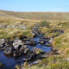
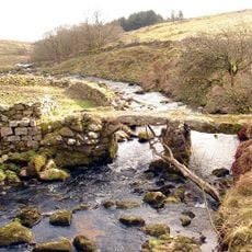
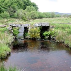
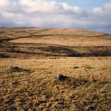
Devonport Leat is a water channel that runs through Dartmoor, collecting water from five different rivers and carrying it across the moor. The system features granite-built sections, multiple intake points called headweirs, and carefully engineered channels that follow the contours of the terrain.
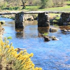
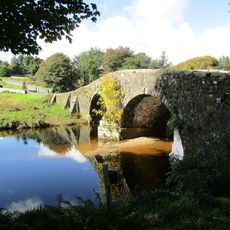
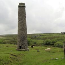
Engineers built this water transport system in the 1790s to supply Plymouth Dock naval base with fresh drinking water from Dartmoor's sources. The project reflects how Britain's military expansion at sea drove the need for reliable water infrastructure inland.
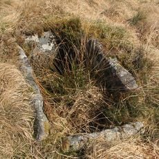
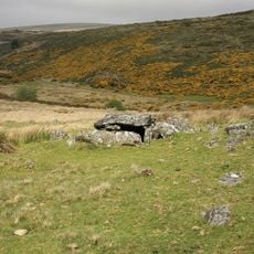
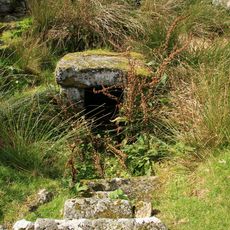
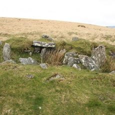
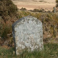
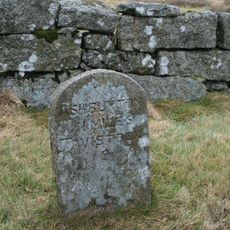
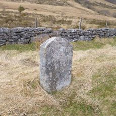
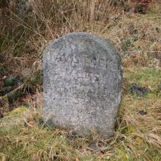
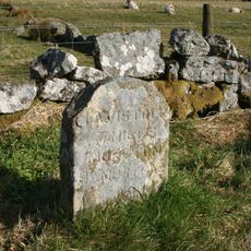
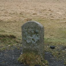
The leat intersects with ancient stone crosses that mark old pilgrimage and monastic routes across the moor. These crossing points show how the water channel was built through landscape that already held centuries of human movement and spiritual significance.
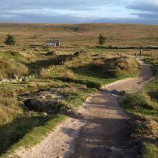
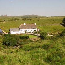
Start from Princetown, where marked walking paths follow sections of the leat and provide access to different parts of the system. Wear waterproof footwear since the moor stays wet and the terrain changes from grassy to boggy.
The channel crosses difficult terrain through an underground tunnel near Nun's Cross Farm and an elevated aqueduct, demonstrating advanced engineering for its time. These structures allowed water to flow across obstacles without interrupting the landscape it crossed.
The community of curious travelers
AroundUs brings together thousands of curated places, local tips, and hidden gems, enriched daily by 60,000 contributors worldwide.