Dartmoor kistvaens, Stone burial chambers in Dartmoor, England.
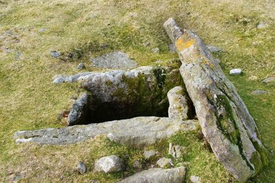
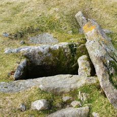
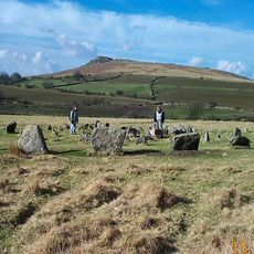
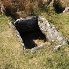
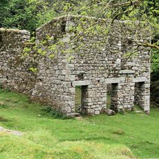
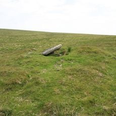
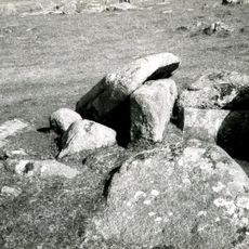
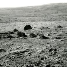
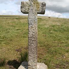
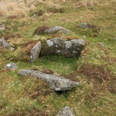
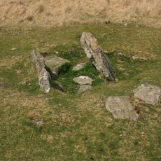
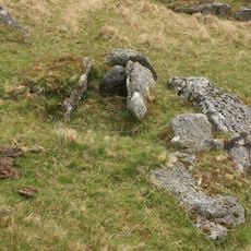
Dartmoor kistvaens are rectangular stone burial chambers built from four upright stone slabs that form the walls, topped with a large flat stone slab to create a sealed space. Each structure was designed to hold human remains and grave goods in a protected chamber.
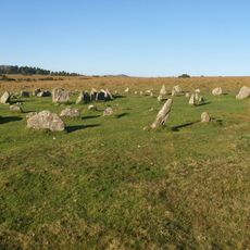
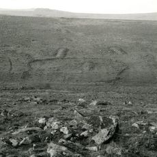
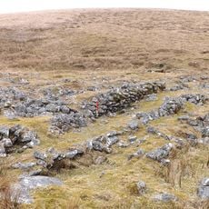
These stone chambers were built between 2500 and 1500 BC during the late Stone Age and early Bronze Age across the Dartmoor landscape. They show how this burial method persisted as communities developed over several centuries.
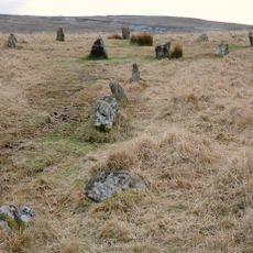
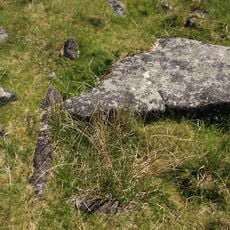
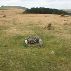
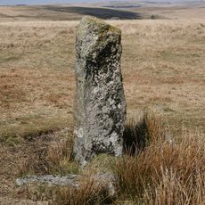
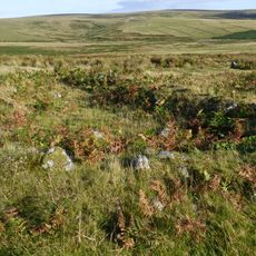
These stone chambers were positioned with careful attention to direction, reflecting how ancient communities thought about death and the land around them. Visitors walking among them can sense how deliberate every detail was in these burial places.
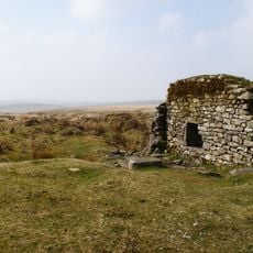
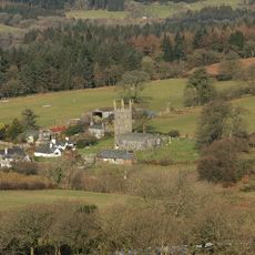
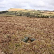
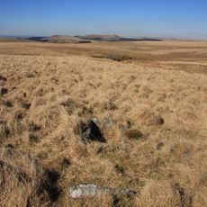
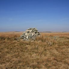
Several of these structures can be visited by following marked walking paths in Dartmoor National Park, particularly around Whitehorse Hill near Chagford. The terrain is open moorland, so visitors should be prepared for changing weather and check conditions before heading out.
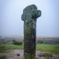
A striking number of these burial chambers align with positions of the sun and stars, showing that their builders had careful knowledge of the sky. This precise positioning was far from accidental and reveals something deeper about how these communities understood the cosmos.
The community of curious travelers
AroundUs brings together thousands of curated places, local tips, and hidden gems, enriched daily by 60,000 contributors worldwide.