Great Langdale, valley in Cumbria, England
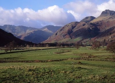
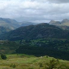
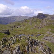
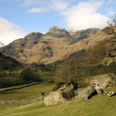
Great Langdale is a large valley in Cumbria featuring rocky peaks and several villages including Elterwater and Chapel Stile spread across 12,000 acres. The landscape contains steep fells, open grasslands, and the distinctive Langdale Pikes with summits such as Harrison Stickle, Pike of Stickle, and Pavey Ark that rise dramatically behind the settlements.
People have occupied the area since Neolithic times, extracting greenstone from hillside outcrops to craft axes that were traded across Britain and Europe. Later, slate quarrying shaped the region for centuries until mining declined in the late 20th century, allowing the landscape to transition back to its natural state.
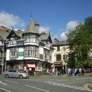
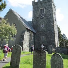
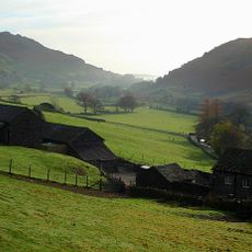
The valley settlements of Chapel Stile and Elterwater developed around farming and industry, creating small communities rooted in the landscape. Visitors walking through these villages see how daily life unfolds around stone cottages, sheep-grazed fields, and the natural rhythm of mountain communities.
Parking is available at Stickle Ghyll and Old Dungeon Ghyll with free access for National Trust members and paid parking for others, while dogs must be kept on leads near livestock. Accessible parking spaces are provided for visitors with mobility needs, and sturdy footwear is recommended as terrain can be rough in places.
Dungeon Ghyll is a narrow ravine cutting through the land between Harrison Stickle and Loft Crag with sections too narrow to walk through comfortably, yet it features a famous waterfall called Dungeon Ghyll Force. This dramatic gorge demonstrates how water and geology have sculpted the landscape over thousands of years.
The community of curious travelers
AroundUs brings together thousands of curated places, local tips, and hidden gems, enriched daily by 60,000 contributors worldwide.