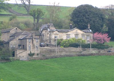
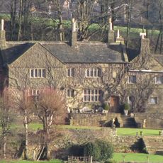
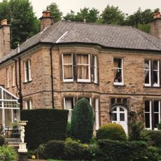
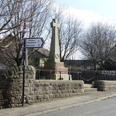
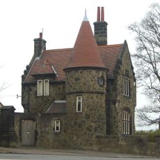
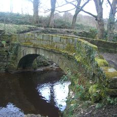
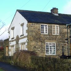
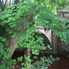
Revell Grange, Country house in Stannington, England
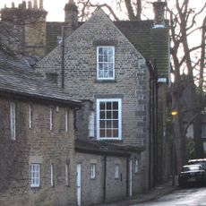
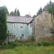
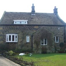
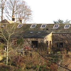
Revell Grange is a stone country house with a two-storey structure featuring a five-bay front and large sash windows. The estate includes refurbished outbuildings from the late 18th century that have been adapted for residential use.
The house was originally built in 1495 and underwent major renovations in the mid-18th century when the Revell family moved in during 1742. This period of transformation shaped the building into its current classical form.
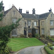
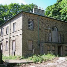
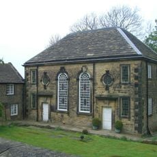
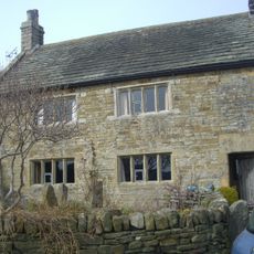
The private chapel served as a spiritual gathering place for Catholic worshippers across generations. It reflects how rural estates became centers of faith for communities seeking spaces to practice their beliefs.
The house sits on Bingley Lane where its stonework and window details are best viewed from the road. As this is a private residence, interior access is not available, but the architectural character of the building and converted outbuildings can be appreciated from the outside.
A white sheet hung from the house served as a signal to local residents about when Mass would be held in the chapel. This simple communication method connected the estate to the surrounding community in an understated way.
Location: Bradfield
GPS coordinates: 53.38600,-1.56274
Latest update: December 13, 2025 12:24
Sandygate Road
2.4 km
Christ Church
2.7 km
Stumperlowe Hall
2.6 km
Fulwood Hall
2.5 km
The Towers
2.1 km
Little Matlock Rolling Mill
2.4 km
Loxley United Reformed Church
2.6 km
Underbank Chapel
1 km
Christ Church
1.2 km
Carsick Hall
2.2 km
Fox Hagg
1.6 km
Stannington War Memorial
1.2 km
Rivelin Valley Chair
2.7 km
The Lodge to Towers
2.2 km
Stumperlowe Grange Stumperlowe House
2.6 km
Packhorse Bridge 70 metres east of Rails Road Bridge
510 m
Spout House
1.3 km
The Barncliff Stoop
1.6 km
Old School House
2.7 km
Packhorse Bridge Over River Loxley At Croft House
1.9 km
Well House
1.1 km
Stannington Cross At Junction With Stannington Road On West Side Of Junction
2.1 km
White House Farmhouse
912 m
The Barn
2.4 km
Milestone, Redmires Road, 300m E of Soughley Lane
2.7 km
Rivelin Valley Road - Rails Road
496 m
Milestone, Manchester Road, 0.2 mile W of Bell Hagg PH(closed)
1.5 km
Milestone, between waterworks & Rivelin Dams
1.6 kmVisited this place? Tap the stars to rate it and share your experience / photos with the community! Try now! You can cancel it anytime.
Discover hidden gems everywhere you go!
From secret cafés to breathtaking viewpoints, skip the crowded tourist spots and find places that match your style. Our app makes it easy with voice search, smart filtering, route optimization, and insider tips from travelers worldwide. Download now for the complete mobile experience.
A unique approach to discovering new places❞
— Le Figaro
All the places worth exploring❞
— France Info
A tailor-made excursion in just a few clicks❞
— 20 Minutes