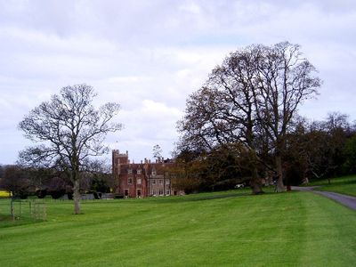
St Audries Park, Manor house in West Quantoxhead, England.
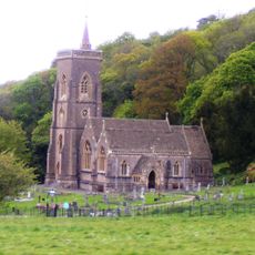
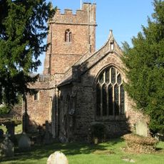
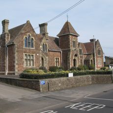
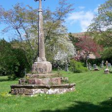
St Audries Park is a red sandstone and limestone mansion in West Quantoxhead with five hectares of formal gardens filled with specimen trees and roses divided by hedges. The building itself sits on a level terrace with views toward St Etheldreda's Church and the sea.
The property was documented as early as 1086 under William de Mohun's ownership, but the current structure was reconstructed between 1835 and 1870 by architect John Norton. This rebuild transformed it into the red sandstone and limestone mansion visible today.
The gardens display classic English design with formal arrangements and careful divisions of roses and specimen trees that shaped life here across generations. Visitors can walk through these spaces and sense how such layouts once framed the everyday surroundings of a family estate.
The site is located near the A39 and easily accessible, with level terrain that makes exploration straightforward. The five hectares of gardens are laid out generously, so visitors should plan time and wear comfortable shoes to explore all areas.
Hidden within the grounds is an 18th-century shell grotto whose walls are decorated with British and foreign shells and fossils. The floor was carefully paved with patterned pebbles, making this underground space a rare find for visitors to stumble upon.
The community of curious travelers
AroundUs brings together thousands of curated places, local tips, and hidden gems, enriched daily by 60,000 contributors worldwide.