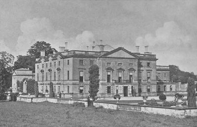
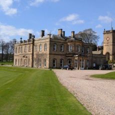
Stanwick Park, Palladian country estate in North Yorkshire, England
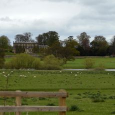
Stanwick Park is a country estate in North Yorkshire featuring gardens and architectural remnants from the 18th century. The property contains grounds that once surrounded a grand hall, now known mainly through its layout and the surviving garden features that define the site today.
The estate was built between 1739 and 1740 by the First Duke of Northumberland and reflected his personal architectural vision. During World War I it served as a military hospital, after which the hall was demolished in 1923.
The name reflects the English landed gentry tradition, and visitors can see how the gardens were once designed to showcase botanical collections typical of wealthy estates. The grounds remain a record of how aristocratic families organized and used their rural properties.
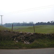
The site offers open grounds that are accessible year-round for walking and exploring the garden layout. The terrain is generally flat and easy to navigate, making it suitable for visitors of all mobility levels.
The gardens produced the Stanwick nectarine, a fruit variety developed during the estate's operation that became notable in English horticulture. This botanical legacy connects the place to the history of fruit cultivation and plant introduction in England.
The community of curious travelers
AroundUs brings together thousands of curated places, local tips, and hidden gems, enriched daily by 60,000 contributors worldwide.