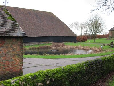
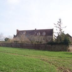
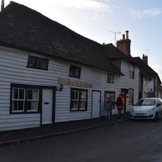
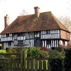
Tithe Barn, Lenham, Grade I listed medieval tithe barn in Lenham, England
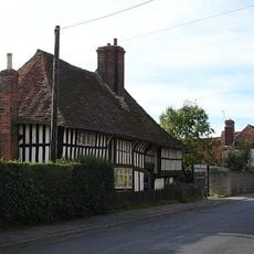
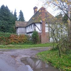
The Tithe Barn is a medieval agricultural storage building featuring nine bays with internal aisles flanking both sides of the interior space. Timber framing supported by stone plinths creates a sturdy structure typical of grain storage facilities from this period.
Built in the late 14th century, the structure originally belonged to St Augustine's monastery in Canterbury and served as a tax collection facility. A companion barn once stood nearby but was destroyed by fire in the 20th century.
The barn demonstrates how medieval rural communities managed the collection and storage of grain as a form of church taxation. It shows the practical relationship between religious institutions and everyday agricultural life in the countryside.
The building is open to visitors and hosts local art exhibitions and community gatherings throughout the year. It sits along the Pilgrims Way walking route, making it easily accessible to those exploring the area on foot.
Additional bays were added between the late 15th and early 16th centuries, making it the largest surviving structure of its kind in Kent. This expansion reflects how the barn's importance grew as the church accumulated more resources from local communities.
The community of curious travelers
AroundUs brings together thousands of curated places, local tips, and hidden gems, enriched daily by 60,000 contributors worldwide.