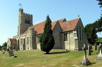
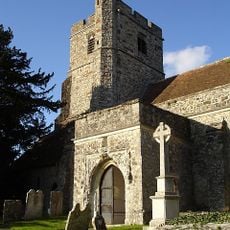
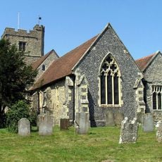
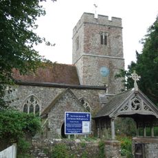
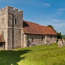
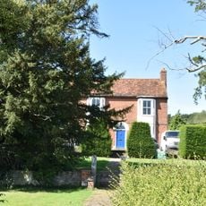
St John the Baptist's Church, Harrietsham, Medieval church in Harrietsham, England.
St John the Baptist's Church is a medieval church in Harrietsham featuring a three-stage west tower with diagonal buttresses and a battlemented parapet. Inside, pointed arch arcades rest on octagonal columns, creating an open interior space that reflects its long architectural history.
Construction of this church began in 1101, with significant alterations continuing through the 15th century as tastes and needs changed. The extended building process shows how the place evolved across different periods, each generation adding its own marks to the structure.
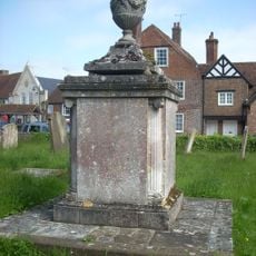
The church holds a collection of memorial brasses and marble sculptures that reflect how local families connected themselves to this place over the centuries. The table tomb of William Stede from 1574 speaks personally to those who shaped the religious life of this community.
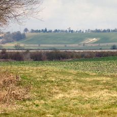
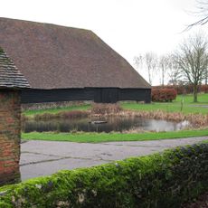
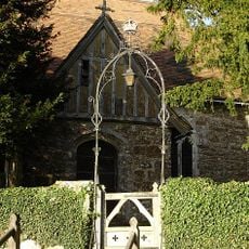
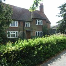
The church sits on Marley Road in Harrietsham and welcomes visitors during its open hours alongside regular services. Allow time to walk through the space slowly and take in the carved stone details and the arrangement of its interior.
This church houses a late 12th-century marble font that stands as one of the most carefully carved examples of its type found in England. The fine detail carved into the stone speaks to the craftsmanship lavished on religious spaces during that time.
The community of curious travelers
AroundUs brings together thousands of curated places, local tips, and hidden gems, enriched daily by 60,000 contributors worldwide.