Ulnaby, Deserted medieval village in High Coniscliffe, England.
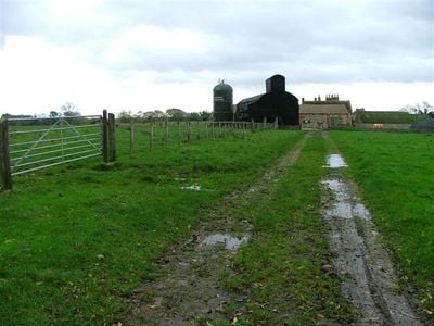
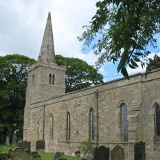
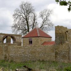
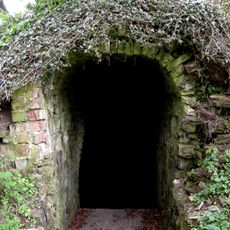
Ulnaby is a deserted medieval village located in High Coniscliffe, now preserved as an archaeological site visible within modern pasture. The remains show rectangular earthwork enclosures that once marked individual house plots and the central pathway running through the settlement.
The settlement began in the late 13th century and persisted until the 16th century, when inhabitants gradually left the area. The shift from arable farming to grazing livestock was a key factor driving the eventual abandonment of the village.
The name Ulnaby comes from Old Norse, reflecting the Scandinavian roots of this region. Visitors can still observe how the village once organized itself through the layout of its house plots and the main pathway that ran through the settlement.
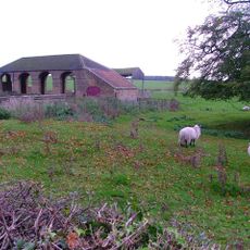
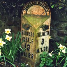
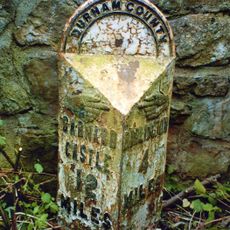
The site lies in open pasture northwest of Darlington and is relatively straightforward to reach. The flat ground and minimal vegetation keep the medieval remains visible throughout the year, though it helps to research the exact location before visiting.
The location saw human activity long before the medieval settlement, with archaeological finds including worked flints and Bronze Age tools from much earlier periods. Roman artifacts have also been discovered on the site, revealing that people were drawn to this place across many centuries.
The community of curious travelers
AroundUs brings together thousands of curated places, local tips, and hidden gems, enriched daily by 60,000 contributors worldwide.