Hill of Stake, Mountain summit in North Ayrshire, Scotland.
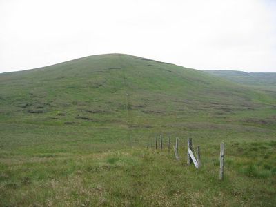
Hill of Stake is a mountain summit in North Ayrshire situated along the border between North Ayrshire and Renfrewshire within Clyde Muirshiel Regional Park. The peak rises to 522 meters and provides broad views across the surrounding landscape from its top.
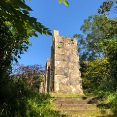
The hill takes its name from an era when the area was used by herders and early settlers who placed marker stones on elevated points. In the 1930s, an Ordnance Survey triangulation pillar marked the summit as a key mapping reference point for British cartography.
The summit features an Ordnance Survey triangulation pillar from 1936, marking a significant point in British cartographic measurement systems.
Several walking routes lead to the summit from different starting points, with main trails beginning from Largs and Muirshiel villages. The paths are generally well-marked and do not require specialized gear for climbing to the top.
The terrain has been marked in aviation history when an aircraft crashed on the hill in 1938, with wreckage later displayed at a museum. This crashed plane connection offers a surprising link between hillwalking and early aviation history for those exploring local heritage.
The community of curious travelers
AroundUs brings together thousands of curated places, local tips, and hidden gems, enriched daily by 60,000 contributors worldwide.